
Frenchman Road (Tatchun–Frenchman Road)
Carmacks / Little Salmon region, Canada
Lake-hopping gravel shortcut between two Yukon highways
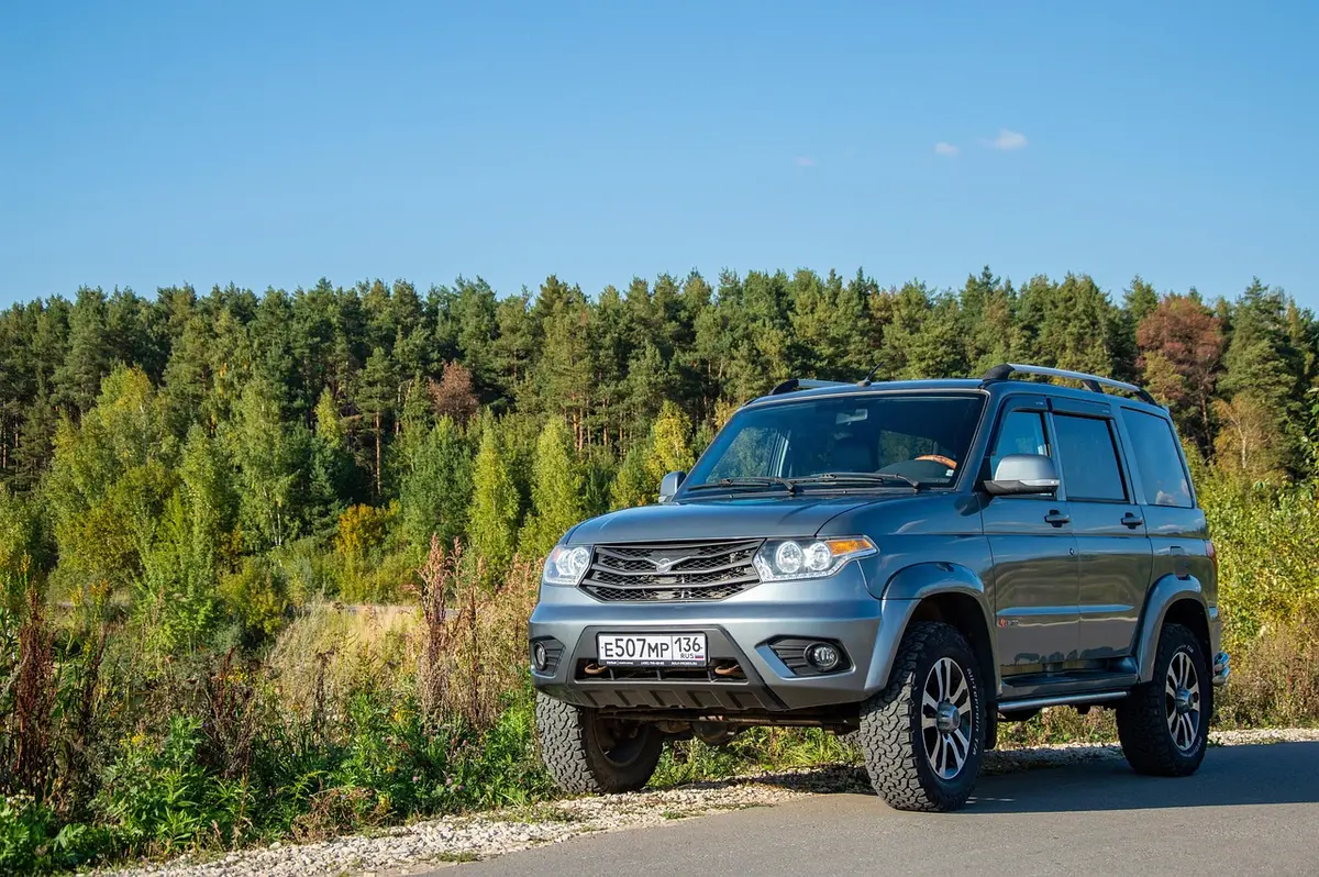
Photo: Representative photo, not this location (Sunriseforever / Pixabay)
Nav gets you to the trailhead. On the trail, Follow trail shows the line and where you are on it — road directions don't work on dirt trails.
The line joins the trail's waypoints in straight lines — it shows the general route, not every turn.
A roughly 51 km gravel connector between the North Klondike Highway near Carmacks and the Robert Campbell Highway, threading a chain of lakes with three territorial campgrounds along the way. The road is narrow and winding and gets slick after rain, but in dry weather it is an easy, quiet backroad with good fishing lakes and very little traffic. It makes a handy loop link for travellers heading to Faro or Ross River.
Waypoints
- 1Tatchun/Frenchman Road at Klondike Highway (km 383)
Turn east off the North Klondike Highway north of Carmacks.
62.28632, -136.29038
- 2Tatchun Lake Campground
9 km from the Klondike Highway.
62.29900, -136.13900
- 3Nunatuk Campground
35 km from the Klondike Highway, 16 km from the Robert Campbell Highway.
62.16400, -135.79900
- 4Frenchman Lake Campground
7 km from the Robert Campbell Highway (km 543).
62.11800, -135.69800