
Fort Resolution Highway (NWT Highway 6)
South Slave Region, Canada
Ghost-town mine pits to the oldest community on Great Slave Lake
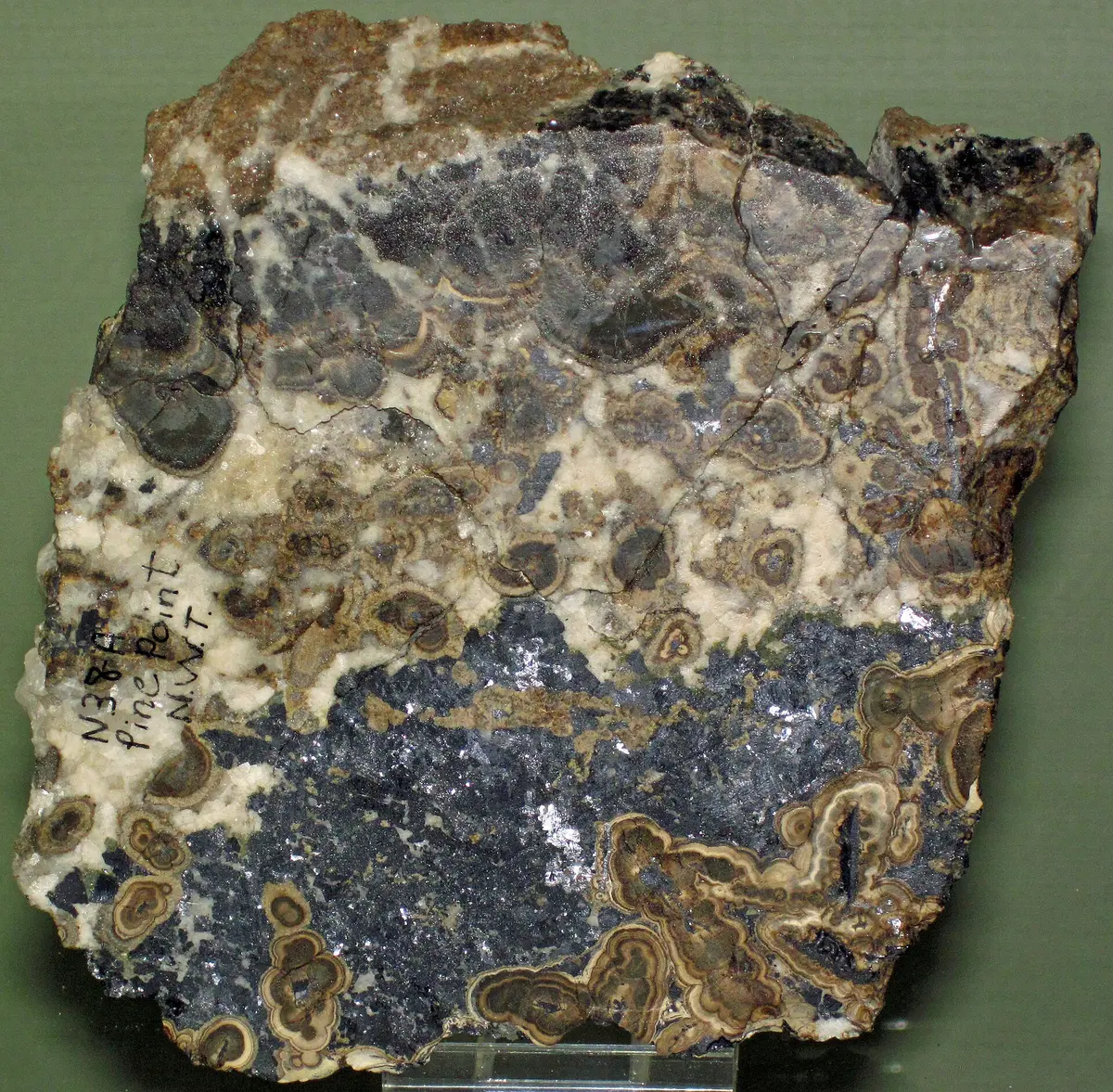
Photo: Representative photo, not this location (James St. John / CC BY 2.0 / Wikimedia Commons)
Nav gets you to the trailhead. On the trail, Follow trail shows the line and where you are on it — road directions don't work on dirt trails.
The line joins the trail's waypoints in straight lines — it shows the general route, not every turn.
Highway 6 runs 90 km from Buffalo River Junction on Highway 5 to Fort Resolution, with a 34 km gravel middle section between paved ends. Along the way it passes the abandoned lead-zinc town of Pine Point, where only the street grid and old open pits remain, then the Little Buffalo River Crossing campground before reaching the historic Dene and Métis community on Great Slave Lake. Expect wood bison, dust and long gaps without services.
Waypoints
- 1Pine Point townsite
Abandoned mining town 21.3 km east of Buffalo River Junction (Hwy 5); only the street grid remains.
60.83333, -114.46806
- 2Pine Point Mine
Former open-pit lead-zinc mine (closed 1987-88); stay on public roads, the site is held by a mining joint venture.
60.87028, -114.45583
- 3Little Buffalo River Crossing Territorial Park
Hwy 6 km 67; campsites, boat launch, showers. Popular spring walleye fishing.
60.99360, -113.76610
- 4Fort Resolution
Hamlet at the end of Hwy 6 on Great Slave Lake.
61.17167, -113.67167