
Elkhorn Ranch Road (Sentinel Butte to Elkhorn Ranch)
Little Missouri National Grassland / Badlands, North Dakota
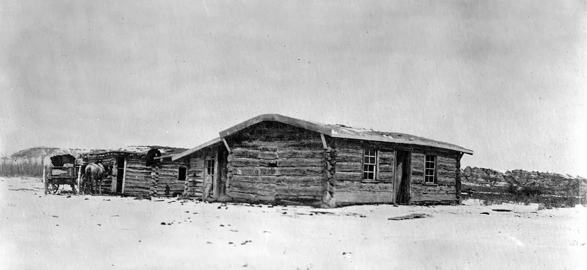
Badlands gravel to Theodore Roosevelt's remote ranch site
Photo: David Francis Barry / Public domain / Wikimedia Commons
Nav gets you to the trailhead. On the trail, Follow trail shows the line and where you are on it — road directions don't work on dirt trails.
The line joins the trail's waypoints in straight lines — it shows the general route, not every turn.
The only way to Theodore Roosevelt's Elkhorn Ranch, the most remote unit of Theodore Roosevelt National Park, is about 30 miles of unpaved Little Missouri National Grassland roads. From I-94 exit 10 at Sentinel Butte the NPS route follows County Road 11 north 8.8 miles, Westerheim Road 6.5 miles and Bell Lake Road 11.7 miles, then Elkhorn Ranch Road (FH 2) 3 miles past the USFS Elkhorn Campground and the Maah Daah Hey trailhead to the parking area above the Little Missouri River. The NPS warns the last three miles sometimes need 4WD or high clearance, especially in or after rain, and there is no cell signal.
Waypoints
- 1Sentinel Butte (I-94 exit 10)
Leave I-94 at exit 10 and head north on gravel County Road 11.
46.91944, -103.84059
- 2Elkhorn Campground (USFS)
Forest Service campground on Elkhorn Ranch Road near the Maah Daah Hey trailhead.
47.22722, -103.66889
- 3Elkhorn Ranch Site (Theodore Roosevelt NP)
Parking area and short walk to Roosevelt's cabin site on the Little Missouri.
47.23389, -103.62028