
Echo Trail (County Road 116)
Ely to Buyck, St. Louis County, Minnesota
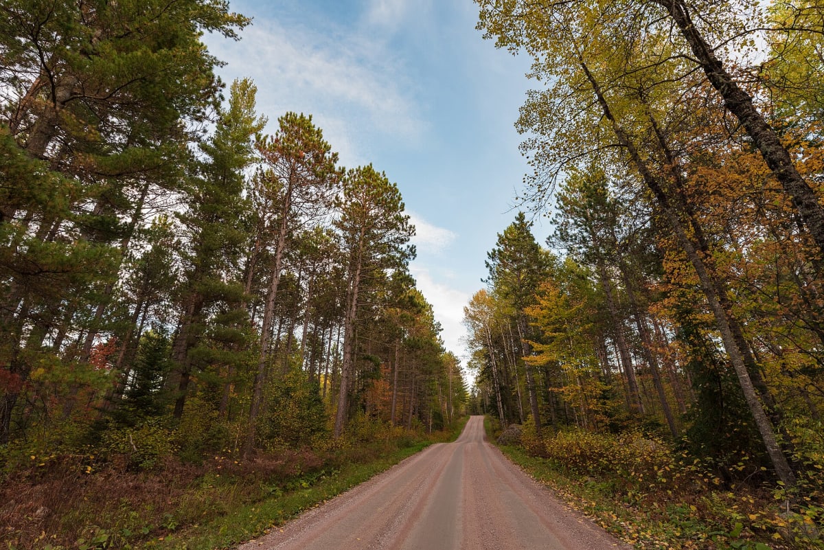
Winding gravel ex-logging road through the Superior National Forest from Ely toward Buyck.
Photo: Tony Webster from Minneapolis, Minnesota, United States / CC BY-SA 2.0 / Wikimedia Commons
Nav gets you to the trailhead. On the trail, Follow trail shows the line and where you are on it — road directions don't work on dirt trails.
The line joins the trail's waypoints in straight lines — it shows the general route, not every turn.
The Echo Trail is a former logging road that twists for roughly 36 unpaved miles through the Superior National Forest northwest of Ely. It is mostly two-lane dirt, gravel and rock, easy for any high-clearance or AWD vehicle in good weather, with moose, bear and eagle sightings common. Spurs lead to Boundary Waters entry points (permit needed to enter the wilderness), and Forest Service campgrounds sit along the way. Cell service is sparse and some private land borders the road.
Waypoints
- 1Fenske Lake Campground (east end near Ely)
TopoQuest/GNIS
47.99490, -91.91542
- 2Echo Trail (GNIS point near Meander Lake)
Meander Lake picnic area 1.2 mi north
48.11601, -92.14764
- 3Lake Jeanette Campground
USFS; 12 mi east of the CR 24 junction
48.12905, -92.29611
- 4Echo Lake Campground (west end)
Near Buyck / CR 24
48.17056, -92.49111