
East River Road to Burning Coal Vein
Little Missouri National Grassland / Medora, North Dakota
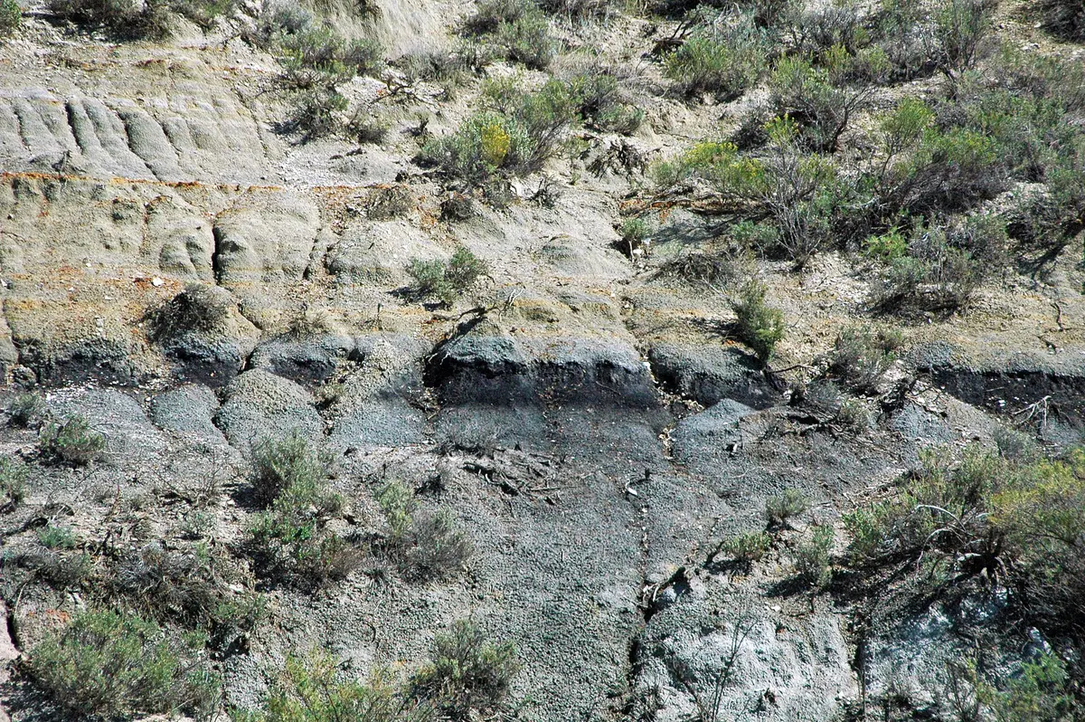
Little Missouri badlands gravel south of Medora
Photo: James St. John / CC BY 2.0 / Wikimedia Commons
Nav gets you to the trailhead. On the trail, Follow trail shows the line and where you are on it — road directions don't work on dirt trails.
The line joins the trail's waypoints in straight lines — it shows the general route, not every turn.
East River Road leaves Medora southbound along the east side of the Little Missouri River, turning to gravel within the first mile and passing the turnoff to Sully Creek State Park, the southern trailhead of the Maah Daah Hey Trail. It continues south through the Little Missouri National Grassland to the turnoff for the USFS Burning Coal Vein Campground, named for an underground lignite seam that burned for decades, near the columnar juniper area. Forest Service directions note that some roads to the campground cross private land.
Waypoints
- 1Medora
Head south from Pacific Ave onto East River Road; gravel begins after about half a mile.
46.91126, -103.52652
- 2Sully Creek State Park (Maah Daah Hey south trailhead)
Short spur west on 36th Street about 1.9 miles from Medora.
46.89003, -103.53753
- 3Burning Coal Vein Campground (USFS)
Turn east at the campground sign; some approach roads cross private land.
46.59722, -103.44361