
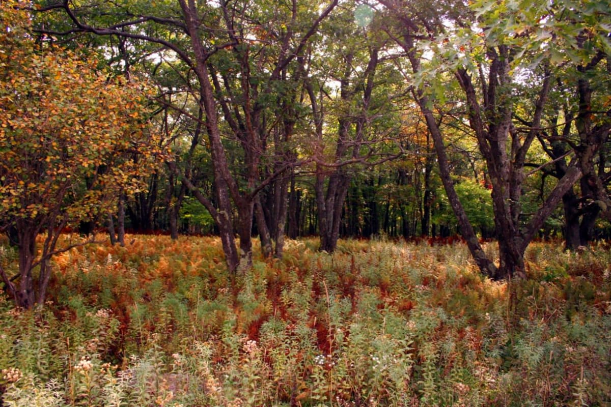
Dolly Sods Forest Roads 75 & 19
Dolly Sods, West Virginia
High-plateau gravel run along the Allegheny Front through Dolly Sods
Photo: ForestWander / CC BY-SA 3.0 us / Wikimedia Commons
Nav gets you to the trailhead. On the trail, Follow trail shows the line and where you are on it — road directions don't work on dirt trails.
The line joins the trail's waypoints in straight lines — it shows the general route, not every turn.
A graded Forest Service road tour along the eastern and southern edges of the Dolly Sods Wilderness. FR 75 runs south across the windswept plateau past a string of wilderness trailheads and Red Creek Campground, then meets FR 19, which drops west to the Red Creek trailhead near Laneville. Fog, high winds, downed trees and drifting snow can block the roads quickly, and roadside camping is restricted to the campground.
Waypoints
- 1Sundew Trailhead (FR 75)
39.06363, -79.30319
- 2Beaver Dam Trailhead
39.05308, -79.30953
- 3Blackbird Knob Trailhead (near Red Creek Campground)
39.03364, -79.31429
- 4Northland Loop Trailhead
39.02764, -79.31606
- 5Fisher Spring Run Trailhead
39.00677, -79.32761
- 6Wildlife Trailhead
38.98680, -79.32957
- 7Rohrbaugh Trailhead (FR 19)
38.96310, -79.35418
- 8Red Creek Trailhead (Laneville)
38.97234, -79.39825