
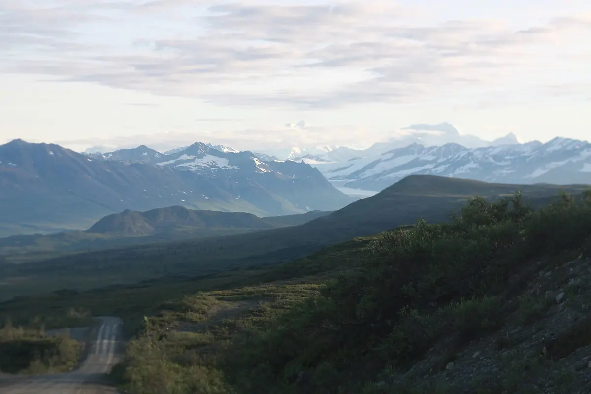
Denali Highway (Paxson to Cantwell)
Alaska Range / Tangle Lakes, Alaska
135 miles of tundra gravel under the Alaska Range
Photo: Mison / CC BY-SA 3.0 / Wikimedia Commons
Nav gets you to the trailhead. On the trail, Follow trail shows the line and where you are on it — road directions don't work on dirt trails.
The line joins the trail's waypoints in straight lines — it shows the general route, not every turn.
Alaska Route 8 runs east-west across the south flank of the Alaska Range between the Richardson and Parks highways, with only the first 21 miles from Paxson and the last 3 near Cantwell paved. The gravel middle crosses Maclaren Summit, the state's second-highest highway pass at 4,086 ft, then drops to the Susitna River bridge before Denali views open up on the western end. BLM recommends 35 mph max, and there is no fuel at Paxson.
Waypoints
- 1Paxson Junction (Denali Hwy MP 0)
Junction with the Richardson Highway at MP 188.3; no fuel here.
63.02968, -145.49700
- 2Tangle Lakes Campground (MP 21.5)
BLM campground; pavement ends around MP 21.
63.04580, -146.01977
- 3Maclaren Summit (MP 37)
4,086 ft, second-highest highway pass in Alaska.
63.08855, -146.43532
- 4Susitna River Bridge (MP 79.5)
Long bridge over the Susitna in the remote middle section.
63.10485, -147.51767
- 5Brushkana Creek Campground (MP 104.5)
BLM campground on Brushkana Creek.
63.28858, -148.06781
- 6Denali views (MP 124)
Clear-day views of Denali to the west.
63.39644, -148.54889
- 7Cantwell Junction (Parks Highway)
Junction with the Parks Highway; fuel in Cantwell.
63.38906, -148.90183