
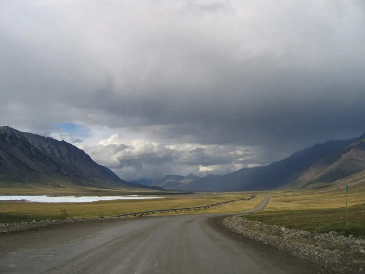
Dalton Highway (Livengood to Deadhorse)
Interior Alaska / Brooks Range / North Slope, Alaska
414 miles of haul road over the Brooks Range to the Arctic
Photo: Photo by Micah Bochart / Public domain / Wikimedia Commons
Nav gets you to the trailhead. On the trail, Follow trail shows the line and where you are on it — road directions don't work on dirt trails.
The line joins the trail's waypoints in straight lines — it shows the general route, not every turn.
Built as the haul road for the Trans-Alaska Pipeline, the Dalton runs 414 miles from the Elliott Highway near Livengood across the Yukon River and Arctic Circle, over 4,739-ft Atigun Pass and down the North Slope to Deadhorse. It is mostly gravel, narrow and steep in places, with heavy truck traffic, flying rocks, mud and potholes. Coldfoot to Deadhorse is about 240 miles with no services. BLM advises at least one spare tire, extra oil and a CB on channel 19, and most rental companies don't allow it.
Waypoints
- 1Start of the Dalton Highway (Elliott Hwy junction)
MP 0 near Livengood; coordinates from the waymarking.com start-sign listing.
65.48947, -148.65518
- 2Yukon River Bridge (MP 56)
Wood-decked bridge over the Yukon beside the pipeline.
65.87641, -149.72071
- 3Arctic Circle Wayside (MP 115)
Arctic Circle sign and BLM campground.
66.55583, -150.81083
- 4Coldfoot Camp (MP 175)
Fuel and food; last services for about 240 miles.
67.25128, -150.17347
- 5Atigun Pass (MP 244)
4,739 ft on the Continental Divide; steep grades, snow possible any month.
68.13000, -149.48050
- 6Galbraith Lake Campground (turn at MP 275)
BLM campground about 2.5 mi off the highway on Galbraith Airport Road.
68.45333, -149.48326
- 7Deadhorse
End of the public road; oilfield roads beyond require a tour.
70.20000, -148.45000