
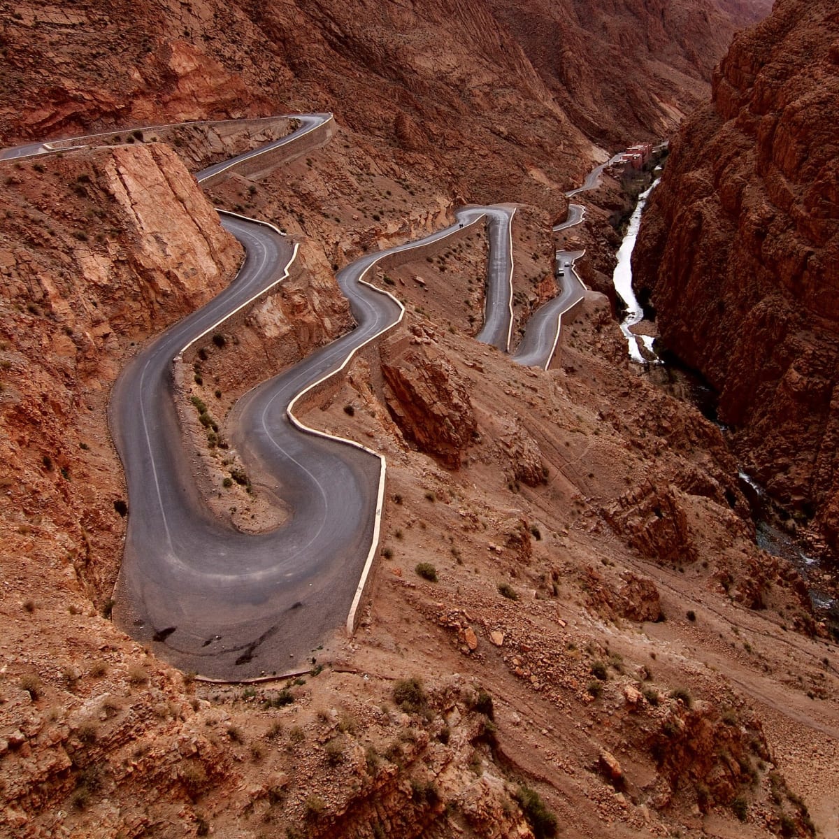
Dadès Gorges to Agoudal (R704 over Jebel Ouamenzri)
Tinghir Province, Drâa-Tafilalet (Central High Atlas), Morocco
From the Dadès gorge hairpins up a 2,600 m piste to the highest village in the Atlas
Photo: Representative photo, not this location (Rosino / CC BY-SA 2.0 / Wikimedia Commons)
Nav gets you to the trailhead. On the trail, Follow trail shows the line and where you are on it — road directions don't work on dirt trails.
The line joins the trail's waypoints in straight lines — it shows the general route, not every turn.
The R704 leaves Boumalne Dadès on asphalt through the Dadès Gorges and past M'Semrir, then turns to hard-packed piste with loose gravel as it climbs toward Jebel Ouamenzri at about 2,583 m before dropping to Agoudal. There are no guardrails on the upper section and the drops are steep. Snow can close the top for short spells in winter, and flash floods sometimes wash out the lower gorge.
Waypoints
- 1Boumalne Dadès
Wikipedia infobox 31°22′26″N 5°59′44″W; start of the R704 up the Dadès Gorges.
31.37389, -5.99556
- 2M'Semrir
Wikipedia infobox 31°42′10″N 5°48′45″W; last village at the head of the Dadès valley.
31.70278, -5.81250
- 3Jebel Ouamenzri high section
dangerousroads.org map embed labelled 31°52'04.7"N 5°43'06.3"W.
31.86879, -5.73597
- 4Upper R704 piste
Second map embed point on the dangerousroads.org Jebel Ouamenzri page.
31.86225, -5.71860
- 5Agoudal
bamwor.com Agoudal page, 32.0088 N 5.4914 W.
32.00880, -5.49140