
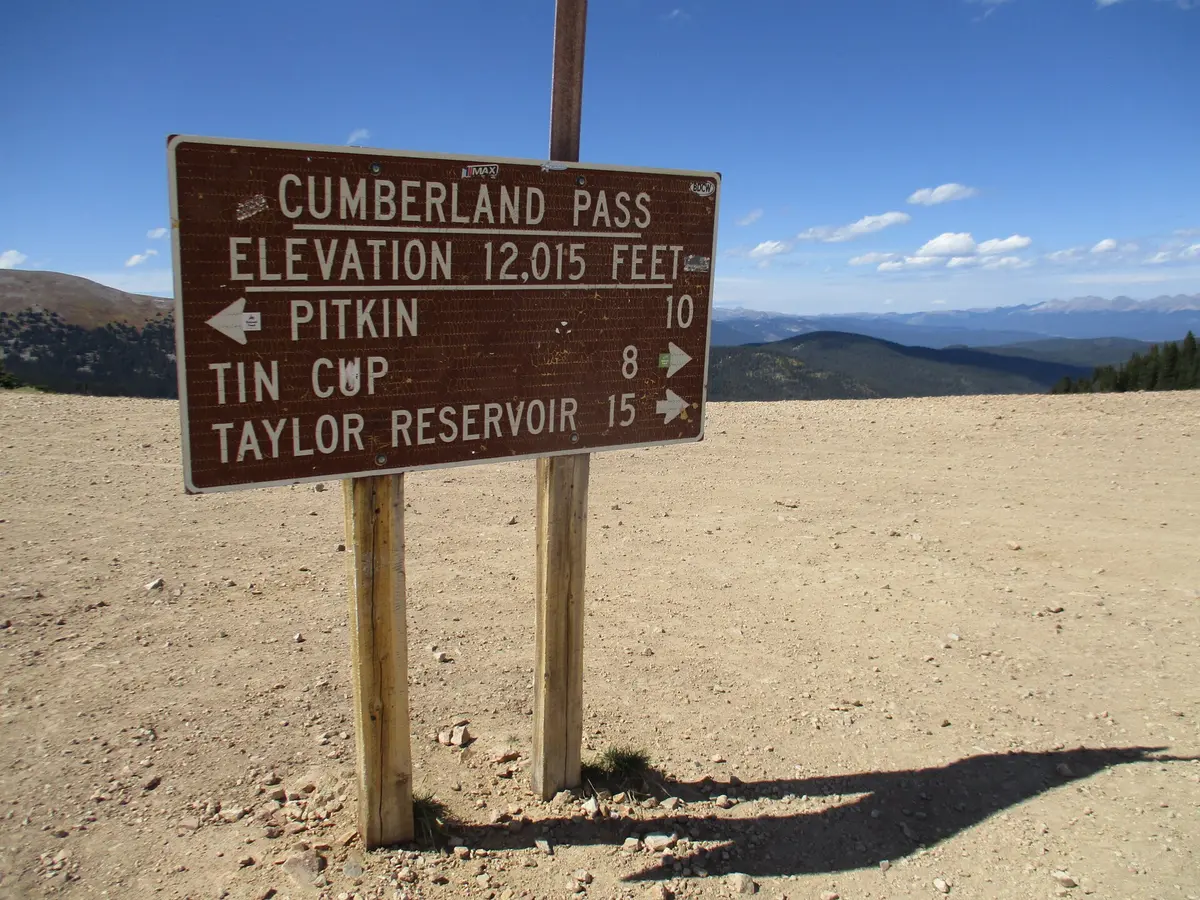
Cumberland Pass
Tincup / Pitkin, Colorado
High graded pass road between Tincup and Pitkin at 12,000 ft
Photo: John Sowell / CC BY-SA 4.0 / Wikimedia Commons
Nav gets you to the trailhead. On the trail, Follow trail shows the line and where you are on it — road directions don't work on dirt trails.
The line joins the trail's waypoints in straight lines — it shows the general route, not every turn.
Cumberland Pass (FR 765) is a graded gravel road that climbs from Tincup over a broad 12,000 ft saddle between Green and Napoleon mountains and drops to Pitkin. It was built in 1882 to haul ore from Tincup's mines to the railroad that ran through the Alpine Tunnel. Most high-clearance vehicles can drive it in summer, and it makes a good base for nearby Napoleon Pass, Alpine Tunnel and Tomichi Pass.
Waypoints
- 1FR 765 north side (Tincup approach)
Access point for road #765 on the Colorado trails map
38.70815, -106.49583
- 2Cumberland Pass summit
12,034 ft
38.68916, -106.48419
- 3Alpine Tunnel Road junction
FR 839 branches east; continue south to Pitkin
38.62513, -106.47595