
Cooper Mountain Road (FR 8020)
Chelan to Methow (Black Canyon), Washington
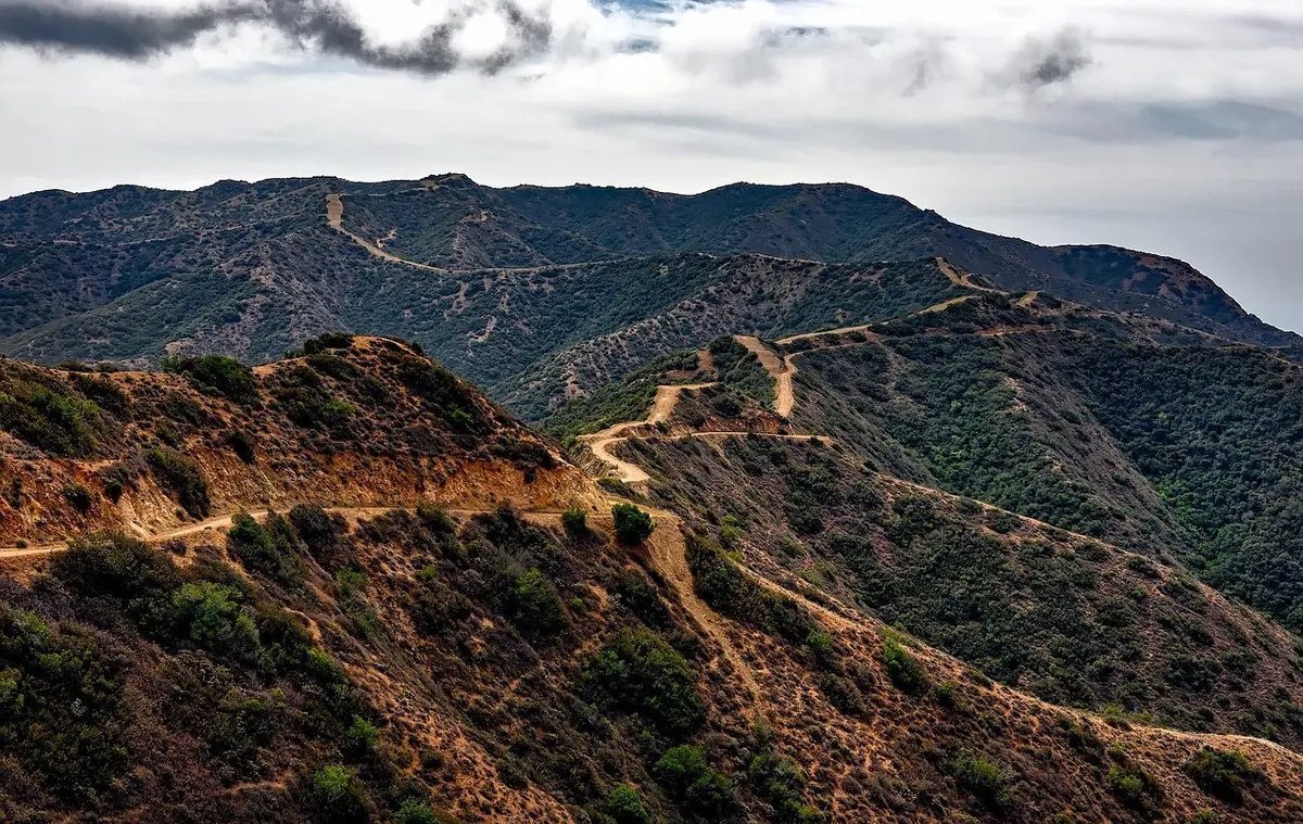
Ridge-top dirt road from Lake Chelan's hills to the Methow, past old lookout sites
Photo: Representative photo, not this location (12019 / Pixabay)
Nav gets you to the trailhead. On the trail, Follow trail shows the line and where you are on it — road directions don't work on dirt trails.
The line joins the trail's waypoints in straight lines — it shows the general route, not every turn.
Starting above Chelan near the Echo Valley ski hill, Cooper Mountain Road climbs more than 3,000 ft on a mostly one-lane dirt road with sharp switchbacks, loose rock, washouts and steep drop-offs. A short spur reaches the concrete footings of the Cooper Mountain lookout at about 5,860 ft, a fine camp spot with views over the Chelan valley. The road continues north along the crest near Fox Peak and drops out via Black Canyon Road to the Methow River. Part of the Washington Cascade Overland Route.
Waypoints
- 1Echo Valley Ski Area
Wikipedia coordinates. Reached via Boyd Road / Cooper Gulch Road from SR 150; bear left onto Cooper Mountain Road at the ski-area junction (Willhite).
47.93583, -120.05611
- 2Cooper Mountain lookout site
GNIS summit coordinates via TopoQuest, 5,856 ft; 0.2-mile spur to the old lookout footings.
48.01125, -120.08369
- 3Fox Peak
GNIS summit coordinates via TopoQuest, 6,154 ft. Trails Offroad: the road passes Fox Peak near its end, with a short, slightly harder bypass.
48.08819, -120.23230
- 4Black Canyon Sno-Park
USFS coordinates, 1 mile up Black Canyon Road 4010 from SR 153 between Pateros and Methow.
48.06701, -120.02190