
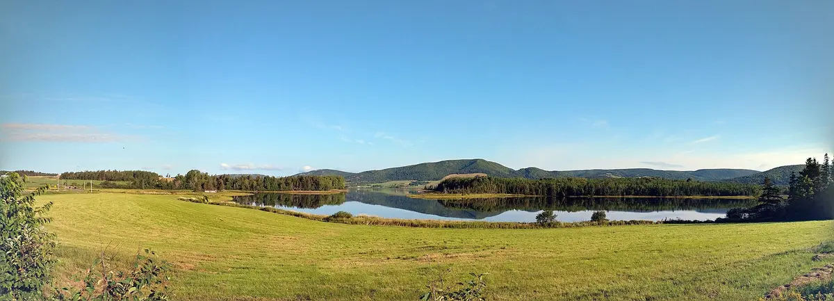
Colindale Road and West Mabou Road (Port Hood to West Mabou)
Inverness County / Port Hood and Mabou, Canada
Gravel back road along the foot of the Cape Mabou Highlands
Photo: Ttylr / CC BY-SA 4.0 / Wikimedia Commons
Nav gets you to the trailhead. On the trail, Follow trail shows the line and where you are on it — road directions don't work on dirt trails.
The line joins the trail's waypoints in straight lines — it shows the general route, not every turn.
The Colindale Road leaves Main Street in Port Hood and runs 8.3 km of gravel northeast through farmland at the foot of the southwestern Cape Mabou Highlands. At the West Mabou road sign it becomes the West Mabou Road, which stays gravel for about another 1.4 km before turning to pavement and ending at the Ceilidh Trail (Highway 19) by the mouth of the Southwest Mabou River. Both roads are usually in good shape but washboarded in summer.
Waypoints
- 1Port Hood (Main Street / Marble Hill Road)
Colindale Road starts at its junction with Main Street and the Marble Hill Road.
46.02717, -61.53738
- 2Colindale
View of the southwestern Cape Mabou Highlands, about 4.8 km from Port Hood.
46.05898, -61.51420
- 3West Mabou road sign
Colindale Road becomes West Mabou Road; gravel continues about 1.4 km before pavement.
46.06987, -61.48590
- 4Mouth of the Southwest Mabou River
Near the larger bridge over the Southwest Mabou River.
46.06132, -61.41982
- 5Ceilidh Trail (Highway 19), West Mabou
Junction with Highway 19.
46.05952, -61.41520