
Cimarron National Grassland Auto Tour (FSR 700 / FSR 600)
Elkhart / Morton County, Kansas
Gravel loop past Santa Fe Trail ruts and Point of Rocks
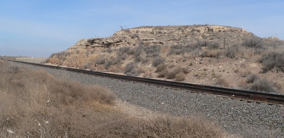
Photo: Representative photo, not this location (Ammodramus / CC0 / Wikimedia Commons)
Nav gets you to the trailhead. On the trail, Follow trail shows the line and where you are on it — road directions don't work on dirt trails.
The line joins the trail's waypoints in straight lines — it shows the general route, not every turn.
The Forest Service's self-guided auto tour of the Cimarron National Grassland is a roughly 30-mile gravel route north of Elkhart in the far southwest corner of Kansas. From K-27 it follows Forest Service Road 700 east past the Artesian (Miracle) Well to the Cimarron Recreation Area, then swings onto FS 600 north of the Cimarron River past the Pioneer Memorial, visible Santa Fe Trail ruts, Middle Spring and the Point of Rocks landmark before ending at a scenic overlook. The roads suit most vehicles but turn slippery after even light rain.
Waypoints
- 1Elkhart (US-56 & Morton St)
Tour start per the USFS brochure: east 1.8 mi on US-56, then north 7.5 mi on K-27 to FSR 700.
37.00306, -101.89444
- 2Cimarron Recreation Area Campground (FSR 700)
Tour Stop 3; 14 campsites, picnic and group areas, fishing ponds. 4 mi east of K-27 on FSR 700.
37.13547, -101.82402
- 3Point of Rocks Interpretive Site (FSR 600.3A)
Tour Stop 10, just past Middle Spring; Santa Fe Trail landmark above the Cimarron River, reached via FSR 600.3 and the 600.3A spur.
37.10374, -101.93858
- 4Cimarron River Overlook (K-27)
USFS overlook on the west side of K-27, about a mile north of the Cimarron River; 9 mi north of Elkhart.
37.13261, -101.90057