
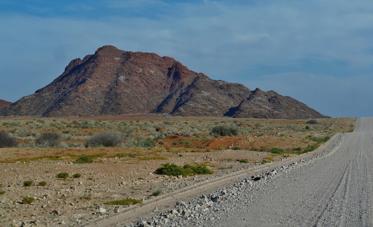
C14 Kuiseb Pass (Solitaire to Walvis Bay)
Khomas / Erongo Region, Namib-Naukluft Park, Namibia
Gravel through the Kuiseb Canyon from the Namib to the coast
Photo: Zairon / CC BY-SA 4.0 / Wikimedia Commons
Nav gets you to the trailhead. On the trail, Follow trail shows the line and where you are on it — road directions don't work on dirt trails.
The line joins the trail's waypoints in straight lines — it shows the general route, not every turn.
From Solitaire the C14 heads north-west across the Namib-Naukluft on gravel, then drops into the Kuiseb Canyon on the Kuiseb Pass. The pass is about 20 km long with 1:9 grades, crosses a 1965 bridge, and has stretches without crash barriers. Past the canyon the road runs over open gravel plains to the coast at Walvis Bay. It is a main through route, but corrugations, loose gravel and heavy rain can make it dangerous.
Waypoints
- 1Solitaire
Wikipedia (Solitaire, Namibia) 23°53′S 16°0′E.
-23.88300, 16.00000
- 2Kuiseb Pass
First map embed on the dangerousroads.org Kuiseb Pass page.
-23.29973, 15.75871
- 3Kuiseb Canyon (west side)
Second map embed on the dangerousroads.org Kuiseb Pass page.
-23.29843, 15.69248
- 4Walvis Bay
Walvis Bay point in the Google Maps link cited on Wikipedia's C26 road (Namibia) page.
-22.95841, 14.50575