
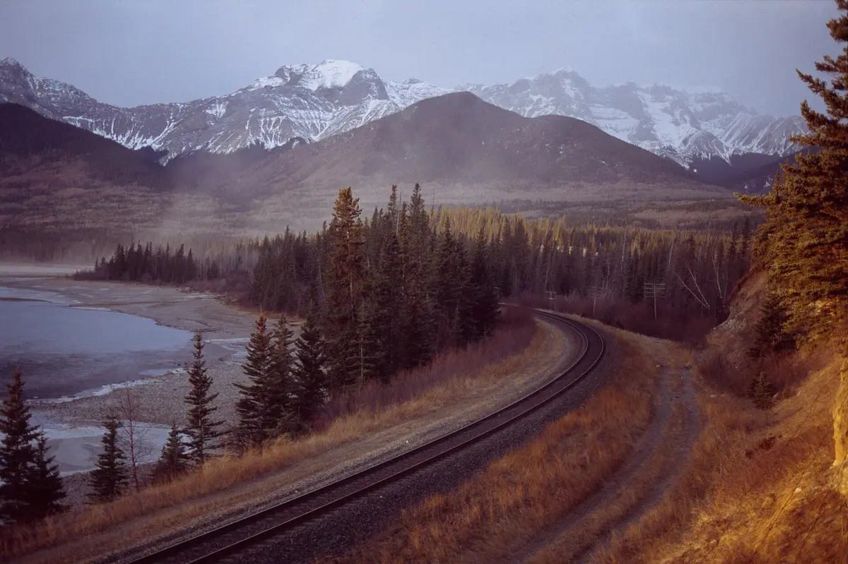
Brule Lake Road (FR 326)
Superior National Forest, Cook County (Lutsen - The Grade), Minnesota
Gravel spur off The Grade to the Boundary Waters' biggest Tofte-side landing
Photo: Eddie Carle / CC BY 2.5 / Wikimedia Commons
Nav gets you to the trailhead. On the trail, Follow trail shows the line and where you are on it — road directions don't work on dirt trails.
The line joins the trail's waypoints in straight lines — it shows the general route, not every turn.
Brule Lake Road (Forest Road 326) branches north off The Grade and runs about 5-6 miles of well-kept red-brown gravel past Fishhook Lake and over the North Branch Cascade River. It ends at the Brule Lake boat landing, one of the busiest BWCAW entry points. The Homer Lake landing and the Brule Lake hiking trail (Entry Point 78) are both on the way, and Eagle Mountain, Minnesota's high point, is just down The Grade. Getting there takes 17 miles up the Caribou Trail from Lutsen, and only the first 7 are paved.
Waypoints
- 1Junction with The Grade (FR 153/170)
From the top of the Caribou Trail, go about 1.5 miles west on The Grade and turn right onto FR 326. Point is the onX trail reference.
47.86031, -90.65697
- 2Brule Lake Trail - Entry Point 78
Hiking-only BWCAW entry on the east side of FR 326, about 1/3 mile before the Brule Lake parking lot.
47.92025, -90.64837
- 3Brule Lake landing - Entry Points 41/42
End of the road: parking lot and boat landing on Brule Lake.
47.92604, -90.64474