
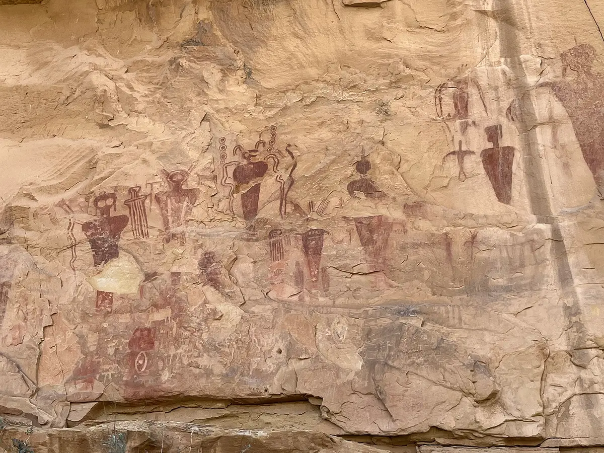
Book Cliffs and Sego Canyon
Thompson Springs, Utah
Book Cliffs high country, a ghost town and rock art
Photo: BLMUtah / Public domain / Wikimedia Commons
Nav gets you to the trailhead. On the trail, Follow trail shows the line and where you are on it — road directions don't work on dirt trails.
The line joins the trail's waypoints in straight lines — it shows the general route, not every turn.
This long backroad climbs into the Book Cliffs above Thompson Springs, with an optional side trip to Doug's Point for views toward Arches, Merrimac Butte and Castle Valley. It then joins Sego Canyon Road past the Sego ghost town and well-known pictograph panels, climbing to a high point of about 8,524 ft before the road ends at the reservation boundary. Easy when dry but impassable when wet.
Waypoints
- 1Frontage road start
Head north from the frontage road and cross the railroad tracks
38.94450, -109.81418
- 2Wash
Bear right and follow the wash east
38.99312, -109.86485
- 3Climb
Bear right uphill
39.01535, -109.84528
- 4Doug's Point road
Optional Doug's Point side trip on right
39.00482, -109.73347
- 5Join Sego Canyon Road
Continue straight onto Sego Canyon Road
39.02422, -109.70923
- 6Sego Canyon rock art parking
Petroglyph and pictograph panels, picnic area, toilet
39.01823, -109.70983
- 7Reservation boundary
Road ends at the reservation boundary; turn around
39.14928, -109.71808