
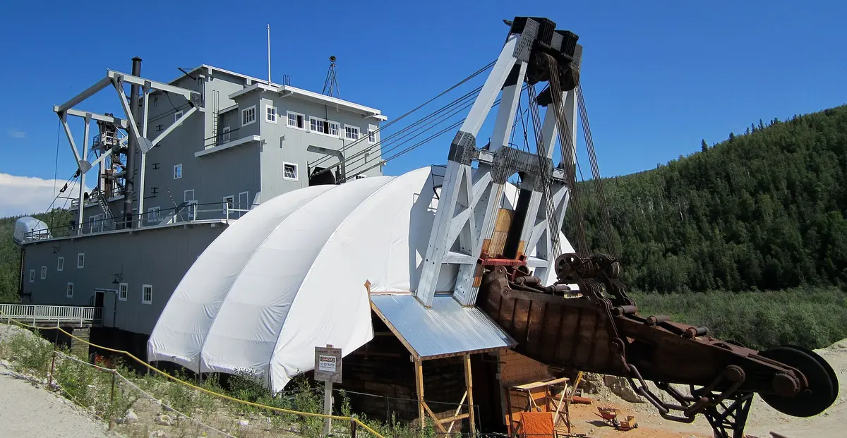
Bonanza Creek Road
Klondike Goldfields, Dawson City, Canada
Gravel through the Klondike goldfields to Discovery Claim
Photo: Representative photo, not this location (117Avenue / CC BY-SA 3.0 / Wikimedia Commons)
Nav gets you to the trailhead. On the trail, Follow trail shows the line and where you are on it — road directions don't work on dirt trails.
The line joins the trail's waypoints in straight lines — it shows the general route, not every turn.
From the Klondike Highway just outside Dawson City, this gravel road climbs up Bonanza Creek through tailings piles and working placer claims to Dredge No. 4 and the Discovery Claim where the 1896 gold rush began. It is narrow with steep grades in places, carries mining traffic, and is not suited to large RVs past the dredge. Much of the land alongside is active private mining ground, so stay on the road and at signed public sites.
Waypoints
- 1Guggieville (Klondike Highway km 712)
Bonanza Creek Road km 0.1, just off the Klondike Highway.
64.03776, -139.39497
- 2White Channel
Km 4; ancient White Channel gravels.
64.00583, -139.36248
- 3Dredge No. 4 National Historic Site
Km 12; Parks Canada tours in summer.
63.94367, -139.33359
- 4Lowe's Fraction
Km 14.6.
63.92041, -139.31653
- 5Discovery Claim National Historic Site
Km 15; site of the 1896 discovery. Narrow, steep roads continue into active mining country.
63.92754, -139.32487