
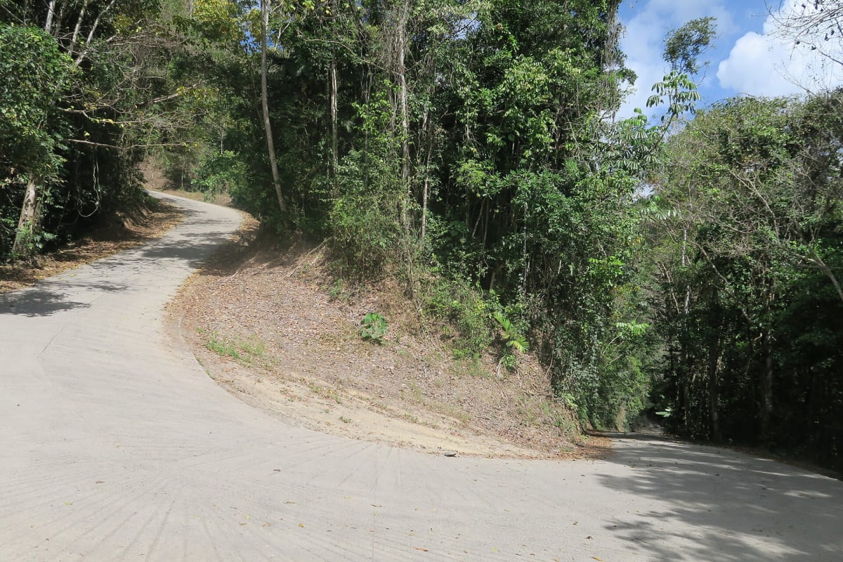
Bloomfield Track
Daintree / Cape York Peninsula, Queensland, Australia
Steep rainforest 4WD road from Cape Tribulation to Wujal Wujal
Photo: Felix Dance / CC BY 2.0 / Wikimedia Commons
Nav gets you to the trailhead. On the trail, Follow trail shows the line and where you are on it — road directions don't work on dirt trails.
The line joins the trail's waypoints in straight lines — it shows the general route, not every turn.
A narrow, partly unsealed coastal road that climbs over the Donovan and Cowie ranges through the Daintree rainforest between Cape Tribulation and Wujal Wujal, an alternative route north toward Cooktown. Steep pinches have been concreted and there are several hard-bottomed creek crossings including Emmagen Creek. It was rebuilt after Cyclone Jasper in 2023 and Douglas Shire lists it as 4WD only, unsuitable for trailers, campervans or caravans.
Waypoints
- 1Cape Tribulation
Coordinates from ExplorOz place page 'Cape Tribulation - QLD'. Seal ends north of here.
-16.07735, 145.47082
- 2Bloomfield Falls
Coordinates from ExplorOz Bloomfield Track trek page (Wikipedia gives 15.96306 S 145.3125 E). Sacred to the Wujal Wujal community.
-15.96264, 145.31269
- 3Wujal Wujal
Converted from Wikipedia Wujal Wujal page coordinates 15°56′45″S 145°19′07″E. Road continues to Ayton and Cooktown.
-15.94583, 145.31861