
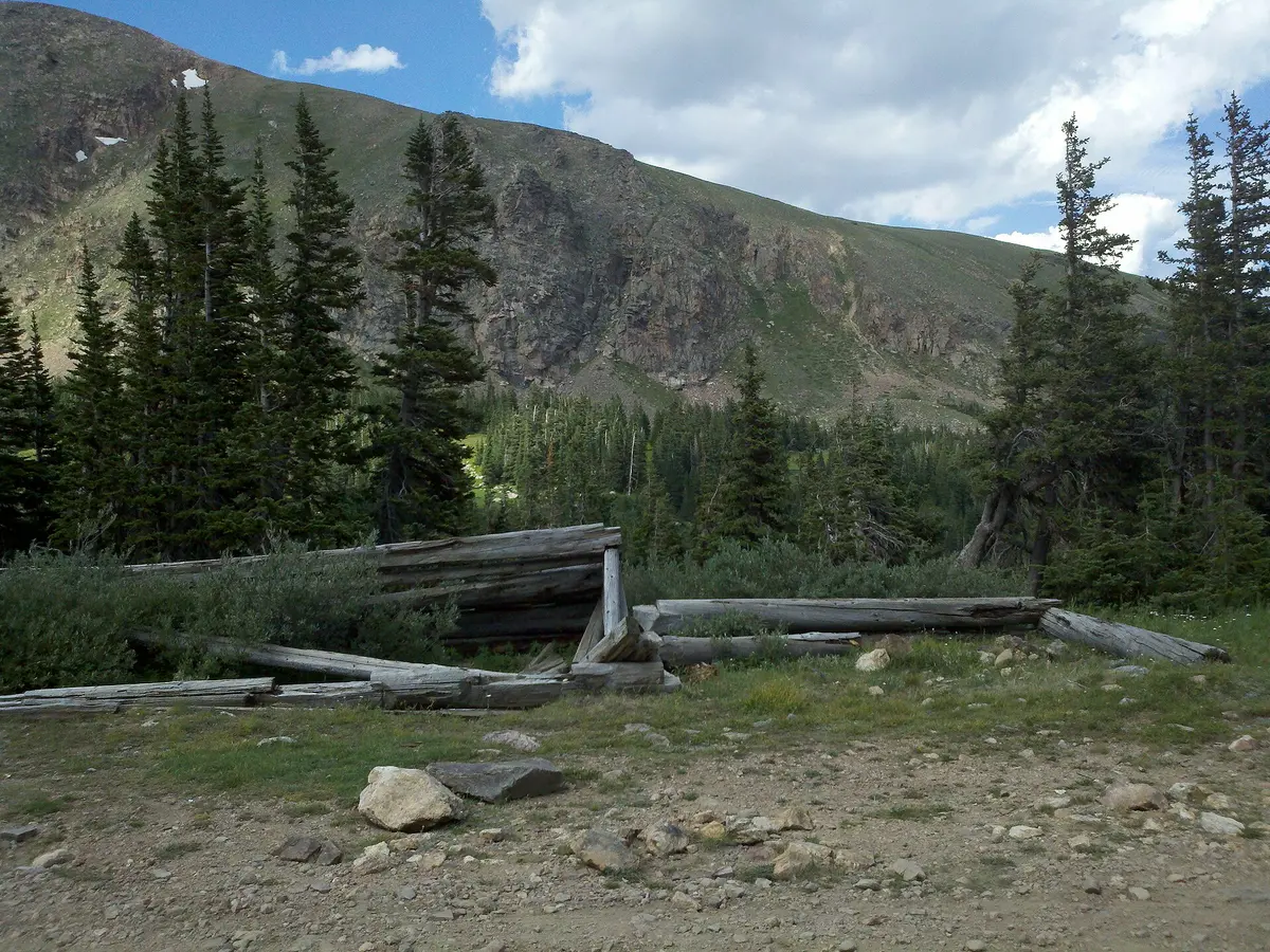
Bill Moore Lake
Empire, Colorado
Rocky chutes and mud above Empire to the James Peak Wilderness edge
Photo: Jacob Montgomery / CC BY-SA 3.0 / Wikimedia Commons
Nav gets you to the trailhead. On the trail, Follow trail shows the line and where you are on it — road directions don't work on dirt trails.
The line joins the trail's waypoints in straight lines — it shows the general route, not every turn.
This climb starts at the tailings pond in Empire and works up through the Conqueror Mine area on FR 183.1, with rocky chutes, a few bypassed obstacles and mud holes that can hold water all summer. It ends at a turnaround at the James Peak Wilderness boundary, a short walk from Bill Moore Lake at about 11,500 ft. Several side roads branch off, so a map or GPS track helps.
Waypoints
- 1Empire tailings pond parking
Off North Empire Road
39.77245, -105.68361
- 2First rock obstacle
Rocky chute low on the route
39.78128, -105.67719
- 3Lower junction
Side roads branch here
39.78312, -105.67615
- 4Upper junction
Stay on FR 183.1
39.79238, -105.67713
- 5Rock obstacle 1
Bypass available nearby
39.79258, -105.67983
- 6Rock obstacle 2
Rocky section
39.79231, -105.68553
- 7Rock obstacle 3
Rocky section
39.79170, -105.69224
- 8Mud hole
Often holds water
39.79987, -105.70401
- 9Wilderness boundary turnaround
Bill Moore Lake is just over the hill
39.80317, -105.70958