
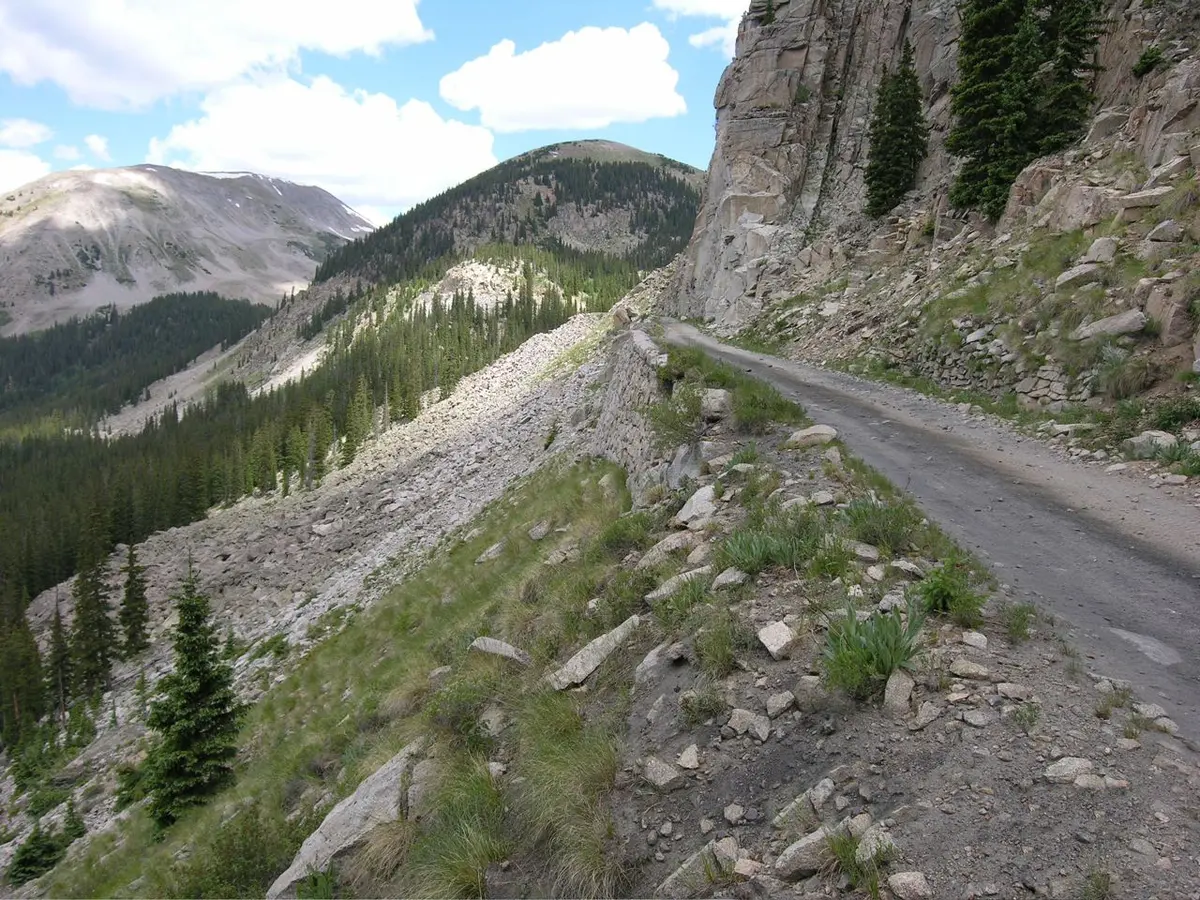
Alpine Tunnel Road
Pitkin, Colorado
Old railroad grade to the 11,500 ft Alpine Station and tunnel portal
Photo: Photo taken by A.L. Szalanski / CC BY-SA 3.0 / Wikimedia Commons
Nav gets you to the trailhead. On the trail, Follow trail shows the line and where you are on it — road directions don't work on dirt trails.
The line joins the trail's waypoints in straight lines — it shows the general route, not every turn.
The Alpine Tunnel Road follows the former Denver, South Park & Pacific grade east from the Cumberland Pass road near Pitkin up to the site of Alpine Station. Along the way it crosses the Palisades, a mortarless stone wall that once held the rails to the cliff. At the top are the restored station buildings, interpretive plaques and the partly collapsed west portal of the tunnel.
Waypoints
- 1Junction with Cumberland Pass road (FR 765)
Start of FR 839 above Quartz Creek
38.62513, -106.47595
- 2Upper dispersed camp
Dispersed camping near the upper section
38.61653, -106.39314
- 3Alpine Station / west portal
Station site, plaques and the collapsed tunnel portal
38.61364, -106.39021