
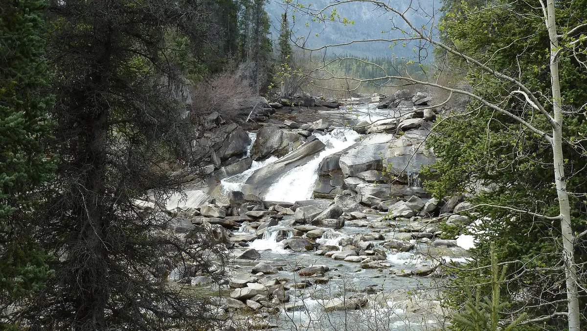
Aishihik Road
Aishihik Lake, Champagne and Aishihik traditional territory, Canada
84 miles of fading gravel to an abandoned WWII airfield
Photo: Mvflyfox / CC BY-SA 4.0 / Wikimedia Commons
Nav gets you to the trailhead. On the trail, Follow trail shows the line and where you are on it — road directions don't work on dirt trails.
The line joins the trail's waypoints in straight lines — it shows the general route, not every turn.
Leaving the Alaska Highway at the Otter Falls Cutoff, this gravel road runs north past Otter Falls and along the east shore of big Aishihik Lake to the former Aishihik airfield and village site, about 135 km in. The first 42 km to the campground are narrow but maintained; beyond that signs warn the road is no longer maintained, with rough gravel, slick mud holes and single-lane bridges of varying condition. Plan on a full day out and back, and check for wildfire closures before you go.
Waypoints
- 1Otter Falls Recreation Site
Km 28 of Aishihik Road, which leaves the Alaska Highway at km 1546 (Otter Falls Cutoff, fuel).
61.08200, -136.99600
- 2Aishihik Lake Campground
Km 42. Road beyond is not maintained.
61.19700, -136.99500
- 3Former Aishihik airfield
Abandoned RCAF/military airfield (closed 1968) near the north end of Aishihik Lake, about 135 km from the highway.
61.65053, -137.48823