
North Cascades Highway: Skagit Valley to Winthrop and Lake Chelan
Sedro-Woolley, Washington · Shared by Nate R.
Something wrong with this trip? Sign in to report it.
Route
11 stops- S
Sedro-Woolley
Starting point
- 1
Concrete
- 2
Marblemount
- 3
Newhalem
- 4
Diablo Lake
- 5
Washington Pass
- 6
Mazama
- 7
Winthrop
- 8
Twisp
- 9
Pateros
- 10
Chelan
- 11
Lake Chelan State Park
About this trip
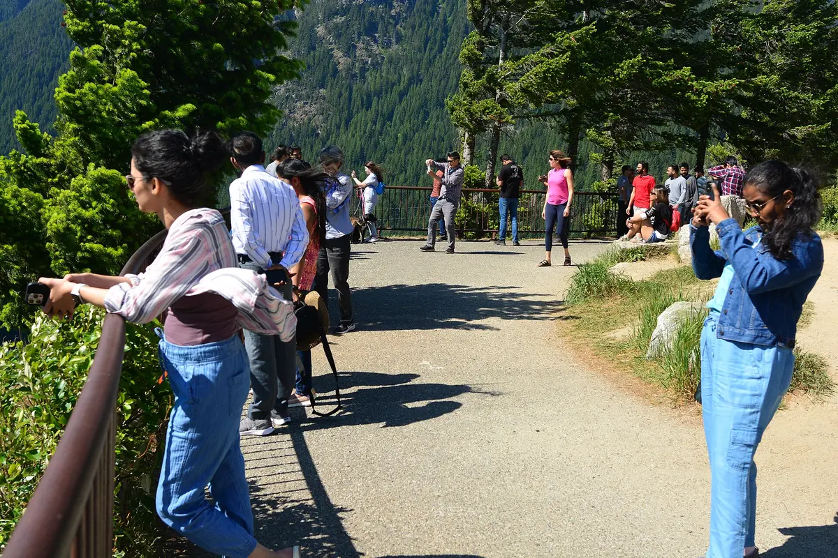
A three-day crossing of the North Cascades on SR 20, the most dramatic mountain road in Washington, finishing on the sunny shores of Lake Chelan. Day 1 leaves Sedro-Woolley and follows the Skagit River upstream past the old cement town of Concrete and the river hamlet of Marblemount, last real stop before the park. Newhalem, Seattle City Light's preserved company town, is the gateway to North Cascades National Park country; a few miles on, the Diablo Lake overlook shows off the glacier-fed turquoise water. The highway then climbs past Rainy Pass to Washington Pass at 5,477 ft, where a short walk reaches views of Liberty Bell's granite spires, before dropping into the Methow Valley through Mazama to Winthrop's Old West storefronts for the night. Day 2 is an easy run down the Methow through Twisp and Pateros to Chelan, with time for the lake. Day 3 explores the southwest shore at Lake Chelan State Park before heading home via US 2 or back the way you came. Suggested overnights Day 1: overnight in Winthrop Day 2: overnight in Chelan Best time to go: Summer to mid-fall; SR 20 closes over Rainy and Washington passes in winter, usually from late November/early December until April or early May. Good to know • The winter closure runs between the Ross Dam trailhead (MP 134) and the Silver Star gate (MP 171), and gates may move lower to Newhalem (MP 120) and Early Winters (MP 178) later in the season. • There are no major junctions on the long mountain stretch between Rockport and the Methow Valley, so fuel up before leaving the Skagit Valley. • Check the WSDOT real-time map before going; closures for snow or avalanche risk can happen any time. Photo: Joe Mabel / CC BY-SA 4.0 / Wikimedia Commons
Tips & questions (0)
Been on this trip, or have a question? Start the conversation.
Sign up free to ask a question or share a tip.
Planning a trip of your own?
Map your stops, share the plan with family and friends, and drive it with Stradena Nav. When you're back, post it publicly so others can enjoy it too.