
Moab Canyon Country: Arches, Canyonlands & the Colorado River in 3 Days
Moab, Utah · Shared by Nate R.
Something wrong with this trip? Sign in to report it.
Route
8 stops- S
Moab
Starting point
- 1
Arches National Park
- 2
Fisher Towers
- 3
Castle Valley
- 4
Moab
- 5
Dead Horse Point State Park
- 6
Canyonlands National Park
- 7
Newspaper Rock State Historic Monument
- 8
Monticello
About this trip
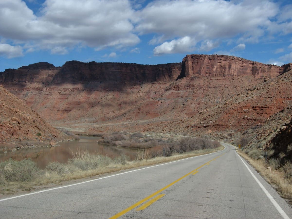
A focused base-camp trip around Moab that goes deeper than a quick park checklist. Day one starts in Arches National Park at dawn, then heads up the Colorado River on Utah Scenic Byway 128, a red-walled canyon road that ends beneath the fluted spires of the Fisher Towers and the sandstone buttes of Castle Valley; return to Moab for the night. Day two climbs onto the mesa top for Dead Horse Point, where the river makes its famous 2,000-foot-deep gooseneck, and the overlooks of the Island in the Sky district of Canyonlands. Day three runs south on US-191 under the La Sal and Abajo mountains, turning off toward the Needles district to see Newspaper Rock, one of the largest panels of rock art in the Southwest, before ending in the high mountain town of Monticello. Suggested overnights Day 1: overnight in Moab Day 2: overnight in Moab Best time to go: March–May and September–October; summer highs often pass 100°F. Good to know • Check nps.gov for current Arches entry rules — timed entry has changed from year to year. • Carry plenty of water; services inside the parks are minimal. • Dead Horse Point is a Utah state park with its own day-use fee (the federal pass doesn't cover it). Photo: Ken Lund / CC BY-SA 2.0 / Wikimedia Commons
Tips & questions (0)
Been on this trip, or have a question? Start the conversation.
Sign up free to ask a question or share a tip.
Planning a trip of your own?
Map your stops, share the plan with family and friends, and drive it with Stradena Nav. When you're back, post it publicly so others can enjoy it too.