
Hood Canal to Cape Flattery: Port Townsend, Sequim & the Strait of Juan de Fuca
Hoodsport, Washington · Shared by Nate R.
Something wrong with this trip? Sign in to report it.
Route
11 stops- S
Hoodsport
Starting point
- 1
Lake Cushman
- 2
Quilcene
- 3
Port Townsend
- 4
Fort Worden State Park
- 5
Dungeness National Wildlife Refuge
- 6
Sequim
- 7
Salt Creek Recreation Area
- 8
Sekiu
- 9
Neah Bay
- 10
Cape Flattery
- 11
Port Angeles
About this trip
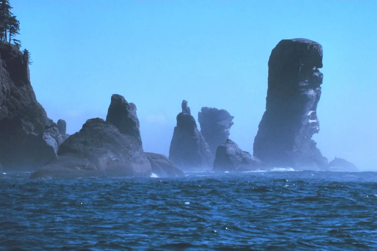
A four-day trip along the Olympic Peninsula's sheltered northern edge, ending at the far northwestern tip of the lower 48. Day 1 starts in Hoodsport on Hood Canal, takes SR-119 up to Lake Cushman below the Staircase entrance, then follows US-101 north along the canal through the oyster town of Quilcene to Victorian Port Townsend. Day 2 starts at Fort Worden's old coastal batteries and bluffs, then crosses to Sequim, the lavender capital, where you can walk Dungeness Spit toward its lighthouse about five miles out. Day 3 leaves 101 for SR-112 along the Strait of Juan de Fuca, with tide pools at Salt Creek, the fishing villages of Sekiu and Clallam Bay, and the Makah town of Neah Bay. Day 4 drives the 7.6-mile road to Cape Flattery, where a boardwalk trail ends at cliffs above sea caves, then heads back east to Port Angeles. You get calm inland waters, history and remote coast without retracing your route until the last day. Suggested overnights Day 1: overnight in Port Townsend Day 2: overnight in Sequim Day 3: overnight in Neah Bay Best time to go: Year-round on the main roads; summer brings July lavender season and calmer weather at Cape Flattery. Good to know • A Makah Recreation Pass is required to hike Cape Flattery; buy it in Neah Bay or online. It is good for a year. • Dungeness National Wildlife Refuge charges $3 per family or group, and dogs are not allowed on the spit. • Washington State Ferries run to Port Townsend and Kingston, and the SR-104 Hood Canal Bridge closes periodically for boat traffic. • Winter road closures limit access around Lake Cushman. • Save directions offline before SR-112, since cell data can be unreliable. Photo: National Oceanic and Atmospheric Administraion / Public domain / Wikimedia Commons
Tips & questions (0)
Been on this trip, or have a question? Start the conversation.
Sign up free to ask a question or share a tip.
Planning a trip of your own?
Map your stops, share the plan with family and friends, and drive it with Stradena Nav. When you're back, post it publicly so others can enjoy it too.