
Highland Scenic Highway to Seneca Rocks & Dolly Sods: WV High Country in 4 Days
Richwood, West Virginia · Shared by Nate R.
Something wrong with this trip? Sign in to report it.
Route
12 stops- S
Richwood, West Virginia
Starting point
- 1
Cranberry Glades
- 2
Marlinton, West Virginia
- 3
Cass Scenic Railroad State Park
- 4
Green Bank Observatory
- 5
Spruce Knob
- 6
Seneca Rocks, West Virginia
- 7
Dolly Sods Wilderness
- 8
Canaan Valley Resort State Park
- 9
Blackwater Falls State Park
- 10
Davis, West Virginia
- 11
Thomas, West Virginia
- 12
Elkins, West Virginia
About this trip
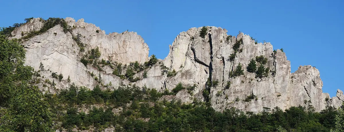
This loop through the Monongahela National Forest covers West Virginia's highest, wildest ground: the Highland Scenic Highway, the state's tallest summit, its best-known rock fin and the high plains of Dolly Sods. Day 1: start in Richwood, the 'Gateway to the Monongahela', and climb to Cranberry Glades, a set of boreal peat bogs at about 3,400 ft with pitcher plants and cranberries. Then drive the Highland Scenic Highway (WV 150), a National Scenic Byway that reaches over 4,500 ft on Black Mountain, and come down to Marlinton on the Greenbrier River. Day 2: ride a Shay steam locomotive at Cass Scenic Railroad State Park and see the 100 m Green Bank Telescope in the National Radio Quiet Zone. Climb to Spruce Knob (4,863 ft), the state high point, then spend the night under Seneca Rocks, which rise nearly 900 ft above the North Fork. Day 3: hike the 1.3-mile trail to the Seneca Rocks platform, then head north to the wind-swept heath and Bear Rocks views of Dolly Sods Wilderness. Drop into Canaan Valley and finish at Blackwater Falls (about 62 ft) and Lindy Point before staying in Davis, the state's highest town. Day 4: explore Thomas's Front Street and its old opera house, then take US 219 to Elkins. Suggested overnights Day 1: overnight in Marlinton, West Virginia Day 2: overnight in Seneca Rocks, West Virginia Day 3: overnight in Davis, West Virginia Best time to go: Late May to mid-October; foliage peaks late September to mid-October at these elevations Good to know • The Forest Service roads to Spruce Knob (FR 112/104) are not maintained in winter and can be impassable from mid-October to mid-April. • Forest Road 75 into Dolly Sods is usually closed to vehicles from January 1 to April 15. • Expect weak or no cell signal around Green Bank (National Radio Quiet Zone); download offline maps first. • Services are sparse on the Highland Scenic Highway and around Spruce Knob, so fill up in Richwood and Marlinton. Photo: Jarek Tuszyński / CC BY 3.0 / Wikimedia Commons
Tips & questions (0)
Been on this trip, or have a question? Start the conversation.
Sign up free to ask a question or share a tip.
Planning a trip of your own?
Map your stops, share the plan with family and friends, and drive it with Stradena Nav. When you're back, post it publicly so others can enjoy it too.