
Big Muddy Badlands & Wood Mountain: Southern Saskatchewan Outlaw Country in 3 Days
Regina, Saskatchewan · Shared by Nate R.
Something wrong with this trip? Sign in to report it.
Route
9 stops- S
Regina
Starting point
- 1
Avonlea, Saskatchewan
- 2
Bengough, Saskatchewan
- 3
Big Muddy Badlands
- 4
Coronach, Saskatchewan
- 5
St. Victor Petroglyphs Provincial Park
- 6
Wood Mountain, Saskatchewan
- 7
Wood Mountain Post Provincial Park
- 8
Killdeer, Saskatchewan
- 9
Assiniboia, Saskatchewan
About this trip
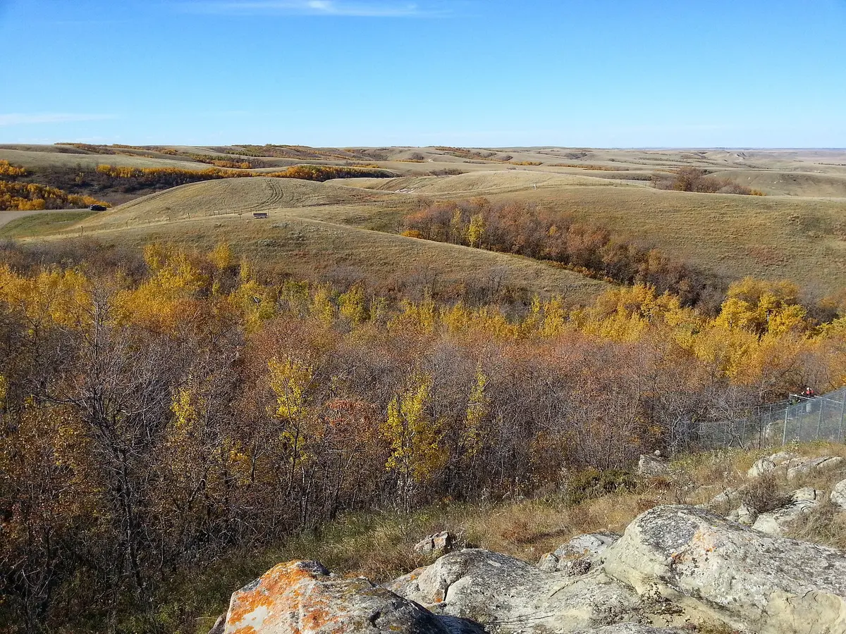
South of Regina, the flat wheat country gives way to the Big Muddy, a glacial meltwater valley of sandstone buttes and coulees that once marked the northern end of the Outlaw Trail. This 3-day loop adds Indigenous rock art, Sitting Bull's place of refuge and the badlands of Grasslands National Park's East Block. Day 1 leaves Regina for Avonlea, where the heritage museum in the old train station runs tours of the nearby Avonlea Badlands. Continue south through Bengough to Castle Butte, a 60 m sandstone and clay outcrop rising out of the Big Muddy, and on to Coronach. Pre-booked Big Muddy tours from Coronach visit outlaw caves, stone rings and effigies. On Day 2, drive northwest to St. Victor Petroglyphs Provincial Park, where more than 360 figures are carved into a sandstone cliff above a wooded coulee. Then head west into the Wood Mountain Hills and overnight in Wood Mountain, home of Canada's oldest continuously running rodeo and a rodeo and ranching museum. Day 3 starts at Wood Mountain Post Provincial Park, the site of a North-West Mounted Police post (1887–1918) near where Sitting Bull and about 5,000 Lakota sheltered after Little Bighorn. Continue south on Highway 18 and gravel roads to the Rock Creek Badlands of Grasslands National Park's East Block, near the hamlet of Killdeer, then finish in Assiniboia. Suggested overnights Day 1: overnight in Coronach, Saskatchewan Day 2: overnight in Wood Mountain, Saskatchewan Best time to go: June–September is best. Castle Butte is open only June 1–November 1, and the East Block phone line and services run May–October. Gravel roads can be impassable when wet, and winters are harsh. Good to know • All access to the Grasslands East Block is on gravel that turns impassable when wet. GPS directions are unreliable there, so follow park signs. • There is no fuel in the national park and cell coverage is poor. Fill up in Coronach or Wood Mountain, as rural station hours vary. • Castle Butte and the Avonlea Badlands are on private land, so stay on paths and respect closures. • Book Big Muddy tours (Coronach) and Avonlea Badlands tours (Avonlea museum) in advance. Photo: Representative photo, not this location (Jeremy Simes / CC BY-SA 3.0 / Wikimedia Commons)
Tips & questions (0)
Been on this trip, or have a question? Start the conversation.
Sign up free to ask a question or share a tip.
Planning a trip of your own?
Map your stops, share the plan with family and friends, and drive it with Stradena Nav. When you're back, post it publicly so others can enjoy it too.