
US 33 Seneca Rocks Run (Elkins to Franklin)
Cross the Eastern Continental Divide, drop to Seneca Rocks, then top North Fork Mountain
Route
6 stops- 1Start
Elkins
Randolph County seat at the Tygart Valley River; US 33 runs along Randolph Ave
- 2Fuel
Harman
Last small town before the climb over the Eastern Continental Divide
- 3Scenic
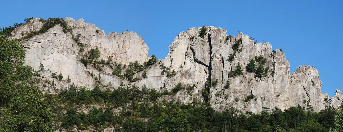
Seneca Rocks
Seneca Rocks Discovery Center at the US 33/WV 28 junction
- 4Scenic
Judy Gap
US 33 leaves WV 28 and turns east up North Fork Mountain
- 5Overlook
Germany Valley Overlook
Turnout on US 33 with a view over Germany Valley to Spruce Knob and Dolly Sods
- 6Destination
Franklin
Pendleton County seat on the South Branch of the Potomac
About this drive
This run follows US 33 about 70 miles east from Elkins through the Monongahela National Forest to Franklin. Past Harman the road crosses the Eastern Continental Divide at about 3,240 ft, then descends the Allegheny Front along Seneca Creek to Seneca Rocks, a quartzite fin rising nearly 900 ft above the river. US 33 then joins WV 28 south through the Potomac headwaters farmland to Judy Gap. From Judy Gap it climbs over North Fork Mountain at about 3,600 ft, where a turnout looks out over Germany Valley to Spruce Knob and Dolly Sods. The mountain grades and switchbacks make for engaging driving. Photo: Jarek Tuszyński / CC BY 3.0 / Wikimedia Commons
Photos & videos
(0)Discussion
Know a great drive?
Help us build the most thoughtfully curated road map in the country. Map it and share it — our team reviews every drive.
Add a drive