
Rangeley Lakes National Scenic Byway (ME 4/17)
Waterfalls, big lakes and the famous Height of Land overlook in Maine's western mountains
Route
4 stops- 1Start
Smalls Falls Rest Area
54 ft of cascades on the Sandy River; picnic tables and toilets on Route 4
- 2Food
Rangeley
Lakeside town on Rangeley Lake
- 3Fuel
Oquossoc
Village where Route 4 meets Route 17
- 4Destination
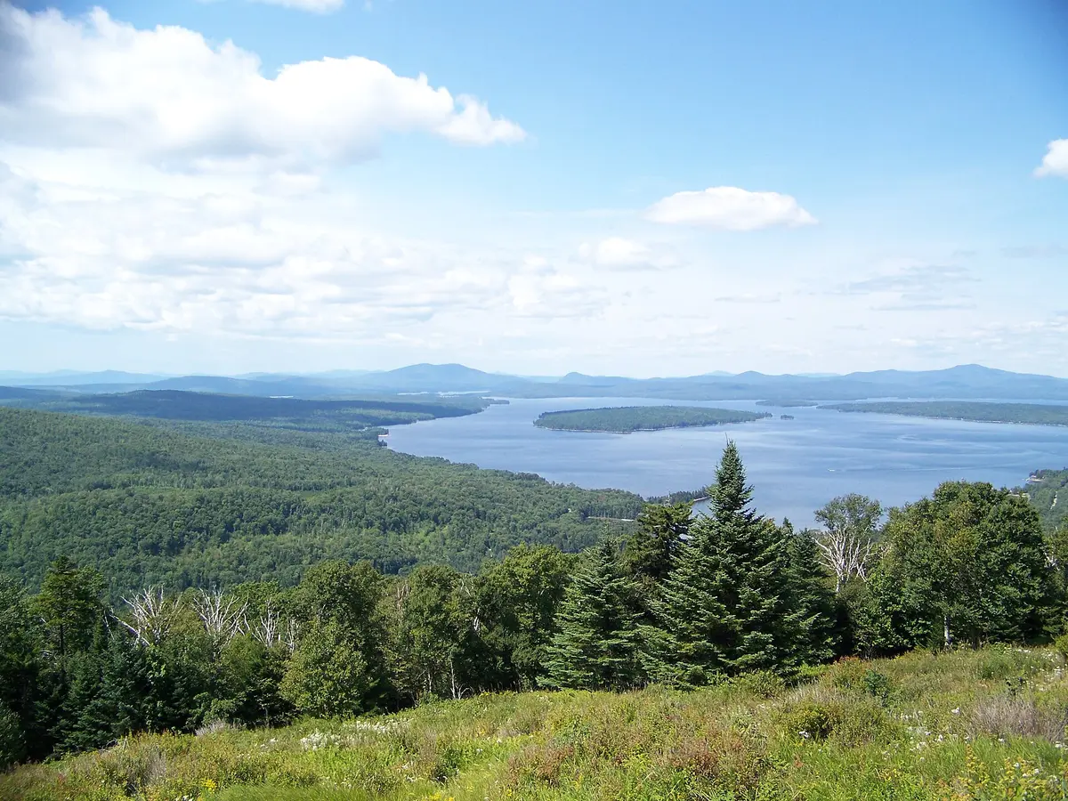
Height of Land Overlook
Views of Mooselookmeguntic and Richardson Lakes; Appalachian Trail crossing
About this drive
The Rangeley Lakes National Scenic Byway follows Routes 4 and 17 around Rangeley Lake, 35.6 miles as nationally designated (51.75 miles under the state designation). From Smalls Falls on Route 4 it climbs to the town of Rangeley and Oquossoc, then Route 17 winds past Beaver Pond along the Appalachian ridgeline. The signature stop is the Height of Land on Route 17, a conserved overlook with sweeping views of Mooselookmeguntic and Upper Richardson Lakes and, on clear days, the White Mountains. Expect mountain and lake scenery, village stops and frequent moose sightings. Photo: Unknown author Unknown author or not provided / Public domain / Wikimedia Commons
Photos & videos
(0)Discussion
Know a great drive?
Help us build the most thoughtfully curated road map in the country. Map it and share it — our team reviews every drive.
Add a drive