
Outer Banks National Scenic Byway (NC 12)
Barrier-island two-lane between the dunes and the sound, lighthouse to lighthouse to Ocracoke
Route
6 stops- 1Start
Whalebone Junction, Nags Head
US 64/NC 12 junction; entrance to Cape Hatteras National Seashore.
- 2Scenic
Bodie Island Lighthouse
Black-and-white banded tower just off NC 12 before Oregon Inlet.
- 3Scenic
Pea Island National Wildlife Refuge
Birding pools and beach across NC 12 from the visitor center.
- 4Photo op
Cape Hatteras Lighthouse
America's tallest brick lighthouse, in Buxton.
- 5Food
Hatteras Village
Seafood and the free ferry terminal to Ocracoke.
- 6Destination
Ocracoke Village
Harbor village on Silver Lake; Ocracoke Light dates to 1823.
About this drive
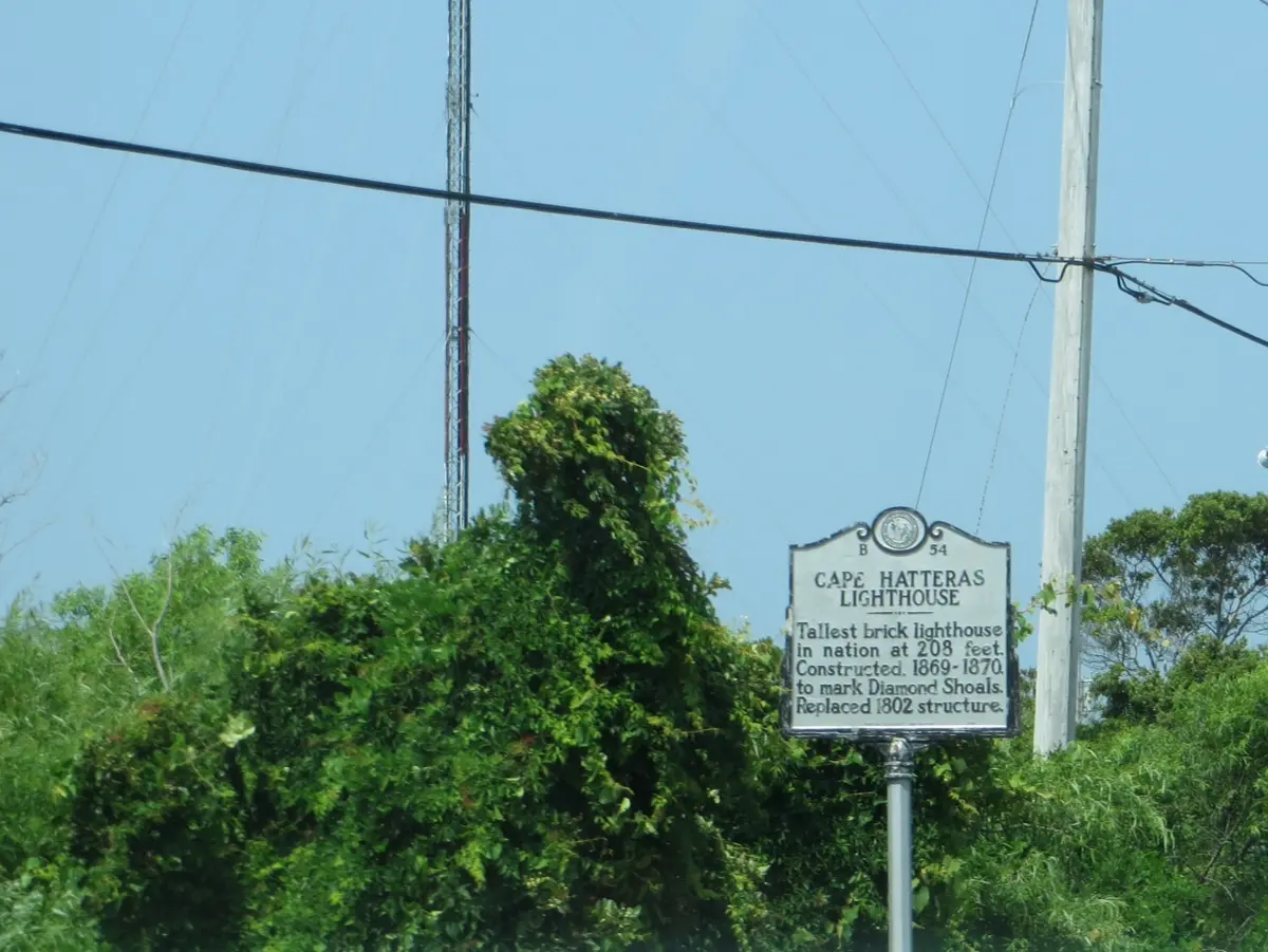
NC 12 is the spine of the Outer Banks National Scenic Byway, which runs about 131 miles in full from Nags Head to the mainland via the Ocracoke and Cedar Island ferries. This section follows NC 12 south from Whalebone Junction across the Marc Basnight Bridge over Oregon Inlet, through Pea Island National Wildlife Refuge and the villages of Hatteras Island to Hatteras Village. The free Hatteras-Ocracoke ferry (about an hour) then carries you to Ocracoke Island, where NC 12 ends at the harbor village by Silver Lake. Highlights include the Bodie Island and Cape Hatteras lighthouses and miles of undeveloped Cape Hatteras National Seashore; storm overwash can close stretches of NC 12, so check NCDOT before going. Photo: Representative photo, not this location (Ken Lund from Reno, Nevada, USA / CC BY-SA 2.0 / Wikimedia Commons)
Photos & videos
(0)Discussion
Know a great drive?
Help us build the most thoughtfully curated road map in the country. Map it and share it — our team reviews every drive.
Add a drive