
Midland Trail National Scenic Byway (US 60)
Follow the Kanawha and New rivers from the capital to Lewisburg on WV's historic east-west road
Route
6 stops- 1Start
West Virginia State Capitol, Charleston
Gold-domed capitol on the Kanawha River, where US 60 runs along Kanawha Boulevard
- 2Scenic
Kanawha Falls (Glen Ferris)
24-ft falls across the Kanawha River, right beside US 60
- 3Scenic
Gauley Bridge
Town where the New and Gauley rivers join to form the Kanawha
- 4Overlook
Hawks Nest State Park
Clifftop overlook on US 60, about 750 ft above the New River
- 5Food
Ansted
Small town on the bluffs along US 60
- 6Destination
Lewisburg
Historic Greenbrier Valley town with shops and restaurants downtown
About this drive
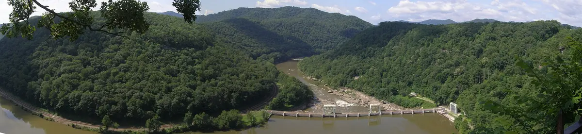
The Midland Trail is the National Scenic Byway along US 60 between Charleston and White Sulphur Springs, roughly 100 miles of the old east-west route across southern West Virginia. Leaving the state capital, it follows the Kanawha River upstream past Kanawha Falls to Gauley Bridge, where the New and Gauley rivers meet. It then climbs onto the bluffs at Hawks Nest State Park, about 750 feet above the New River, and runs through Ansted. From there it winds across the plateau and mountains to historic Lewisburg in the Greenbrier Valley. The road is two-lane and winding through the gorge section, with river towns, overlooks and old inns along the way. Photo: Representative photo, not this location (Chris Light / CC BY-SA 4.0 / Wikimedia Commons)
Photos & videos
(0)Discussion
Know a great drive?
Help us build the most thoughtfully curated road map in the country. Map it and share it — our team reviews every drive.
Add a drive