
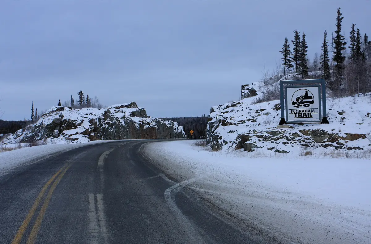
Ingraham Trail (Highway 4, Yellowknife to Tibbitt Lake)
A lake-hopping Canadian Shield road out of Yellowknife.
Route
6 stops- 1Start
Yellowknife
Trail begins at Highway 3 in the territorial capital.
- 2Scenic
Yellowknife River Territorial Park
River crossing at km 7.7.
- 3Rest
Prelude Lake Territorial Park
Large lakeside park and campground at km 28.
- 4Scenic
Hidden Lake Territorial Park
km 44; Cameron Falls trail access is just beyond at km 45.8.
- 5Rest
Reid Lake Territorial Park
km 59, where the chip seal ends.
- 6Destination
Tibbitt Lake
End of the road at km 69.2, start of the winter road to the mines.
About this drive
Highway 4 runs 69 km east from Yellowknife across Canadian Shield rock, spruce and a chain of lakes, and it is strung with territorial parks. It is chip-sealed as far as Reid Lake, with the last 10 km to Tibbitt Lake in gravel. That last stretch is also the first leg of the famous ice road to the diamond mines each February and March. Highlights are the Cameron Falls trail near km 46 and, from November to March, some of the best aurora viewing in the North. Photo: TravelingOtter from Houston, Texas, USA / CC BY-SA 2.0 / Wikimedia Commons
Photos & videos
(0)Discussion
Know a great drive?
Help us build the most thoughtfully curated road map in the country. Map it and share it — our team reviews every drive.
Add a drive