
Foothills Parkway West (Wears Valley to Look Rock)
Ridge-top parkway with viaducts, Smokies panoramas and the Look Rock tower — no commercial traffic
Route
5 stops- 1Start
Wears Valley (US 321 terminus)
Eastern end of the 2018 section, near Line Springs Road.
- 2Overlook
Bates Mountain / Caylor Gap section
Highest stretch of the new section (~2,500 ft); viaducts and Smokies views. Townsend Overlook near Mile 25.
- 3Fuel
Walland (US 321)
Cross US 321 in the Little River valley to continue west.
- 4Scenic
Chilhowee Mountain crest
Parkway climbs onto the ridge; northwest overlooks over Millers Cove and the valley.
- 5Destination
Look Rock Tower
Mile 7.1: 0.8-mi round-trip paved trail to the observation tower. US 129 at Chilhowee Lake is ~7 mi further.
About this drive
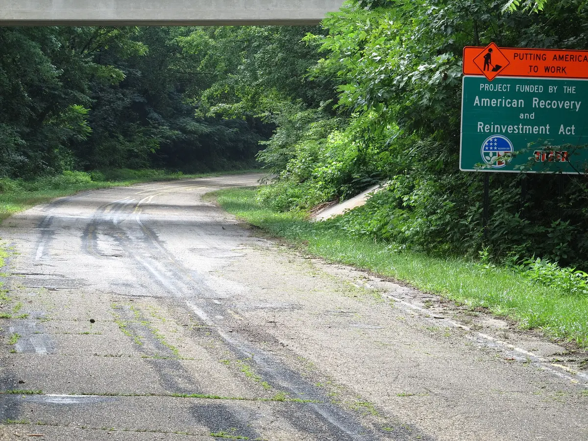
The western segment of the Foothills Parkway is a 33-mile National Park Service road along the northern foothills of the Great Smokies, managed by Great Smoky Mountains National Park. The 16.6-mile Chilhowee–Walland section opened in 1966 and follows the crest of Chilhowee Mountain; the 'Missing Link' from Walland to Wears Valley opened in November 2018, climbing to nearly 2,500 feet near Caylor Gap over a string of curving viaducts. Overlooks face the main Smokies crest and Cades Cove to the south and the Tennessee Valley and Cumberland Plateau to the north. The highlight is Look Rock, where a short paved trail at Mile 7.1 leads to a 360-degree observation tower; from there the parkway continues about 7 miles down to US 129 at Chilhowee Lake. Photo: Glenn White / CC BY-SA 3.0 / Wikimedia Commons
Photos & videos
(0)Discussion
Know a great drive?
Help us build the most thoughtfully curated road map in the country. Map it and share it — our team reviews every drive.
Add a drive