
All scenic drives
Scenic drive
Ebbetts Pass Scenic Byway (SR 4, Arnold to Markleeville)
A one-lane Sierra crossing over 8,700 ft
–(0 ratings)
Rate it
Seasonally closed
Closed by snow in winter; Caltrans usually reopens it in May or June and closes it in November.
Always check local road authority updates before you go.
Sierra Nevada, California, United States62 miles2.0 hours
Route
6 stops- 1Start
Arnold
- 2Scenic
Calaveras Big Trees State Park
- 3Scenic
Bear Valley
- 4Rest
Lake Alpine
- 5Overlook
Ebbetts Pass
- 6Destination
Markleeville
About this drive
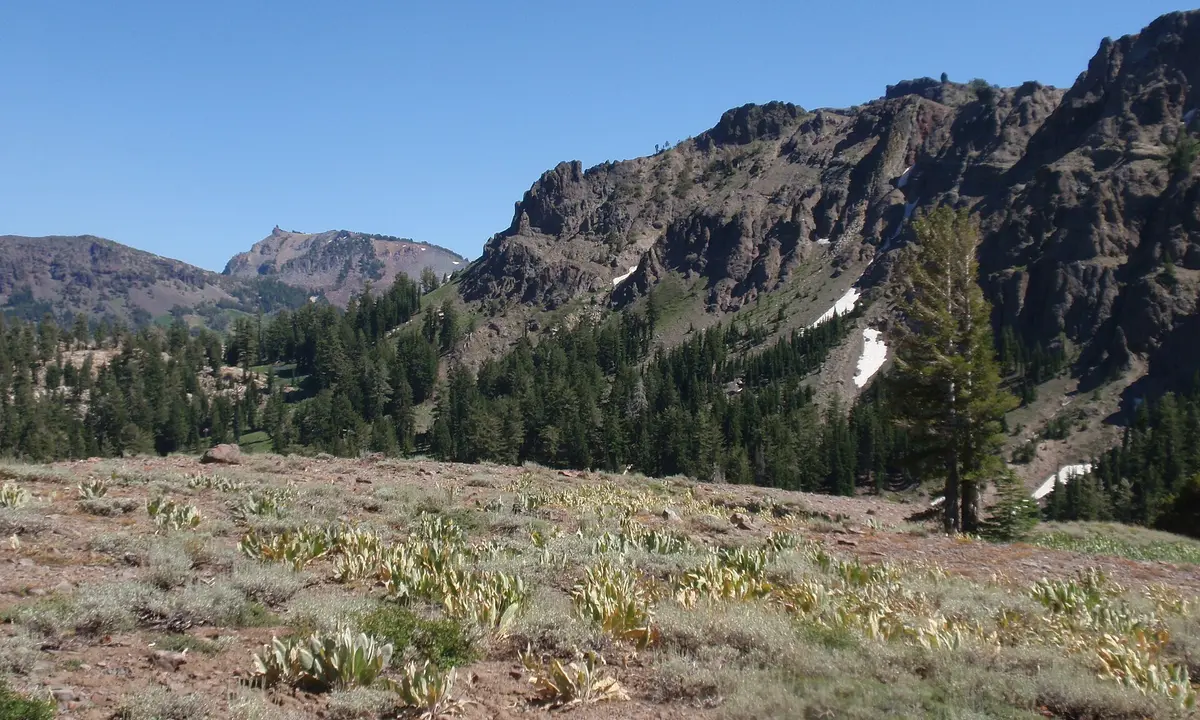
State Route 4 climbs from the giant sequoias at Calaveras Big Trees through Bear Valley and Lake Alpine, then narrows to a steep, often single-lane road with no centerline over the 8,736 ft Ebbetts Pass. The east side drops past volcanic peaks to the tiny town of Markleeville. One of the quietest and most technical Sierra passes. Photo: Tom Hilton / CC BY 2.0 / Wikimedia Commons
Photos & videos
(0)No photos or videos yet. Sign in to contribute.
Discussion
Be the first to talk about this drive — favorite turns, time of day, weather, anything.
Sign in to join the conversation.
Know a great drive?
Help us build the most thoughtfully curated road map in the country. Map it and share it — our team reviews every drive.
Add a drive