
CT 41 Sharon to Salisbury
A fully scenic-designated route through Connecticut's northwest corner
Route
4 stops- 1Start
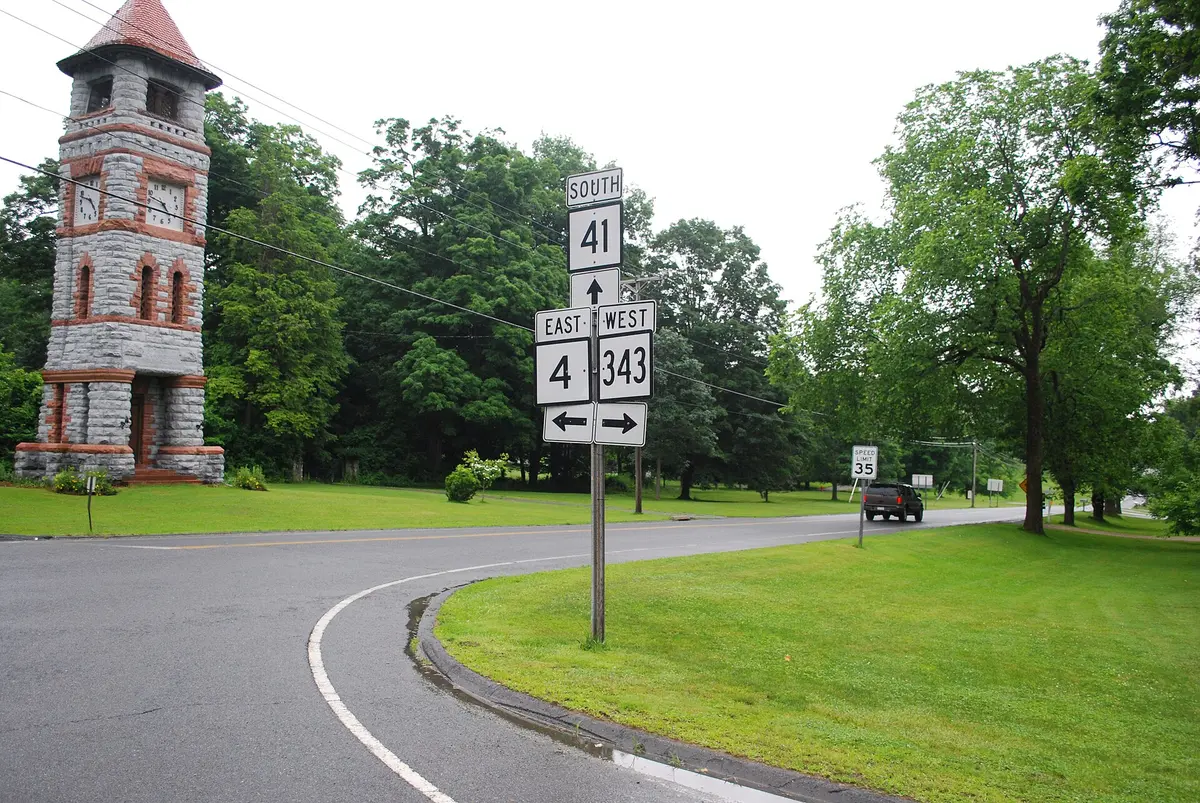
Sharon Clock Tower
A stone clock tower at Main Street (Route 41) and Route 4 in Sharon's historic district.
- 2Food
Lakeville
A village in Salisbury where Route 41 joins US 44 for about a mile.
- 3Scenic
Salisbury Center Historic District
Route 41 leaves US 44 here and becomes Under Mountain Road.
- 4Destination
Mount Riga State Park (Undermountain Trailhead)
The trailhead parking is on Route 41, near the Massachusetts line.
About this drive
Every mile of Route 41 is a designated state scenic road. It runs about 18 miles from the New York line through Sharon's long village green and north past farms and lakes to Lakeville and Salisbury. North of Salisbury center it becomes Under Mountain Road, running beneath the Taconic ridge to the Massachusetts line. The Undermountain Trail at Mount Riga State Park starts from a trailhead on the road. Photo: Representative photo, not this location (Juliancolton / Public domain / Wikimedia Commons)
Photos & videos
(0)Discussion
Know a great drive?
Help us build the most thoughtfully curated road map in the country. Map it and share it — our team reviews every drive.
Add a drive