
Cherohala Skyway (NC 143 / TN 165)
A mile-high ribbon of sweepers across the Unicoi Mountains, Robbinsville to Tellico Plains
Route
5 stops- 1Start
Robbinsville, NC
Graham County seat; last fuel and food before the Skyway.
- 2Scenic
Lake Santeetlah
NC 143 skirts the south shore on the way up to Santeetlah Gap.
- 3Overlook
Hooper Bald
Between mile markers 7 and 8; 0.5-mile trail to a 5,429-ft bald.
- 4Photo op
Huckleberry Knob
Near mile marker 8; 2.4-mile round-trip walk to a 5,560-ft grassy bald.
- 5Destination
Tellico Plains, TN
Cherohala Skyway Visitor Center and Charles Hall Museum at the western end.
About this drive
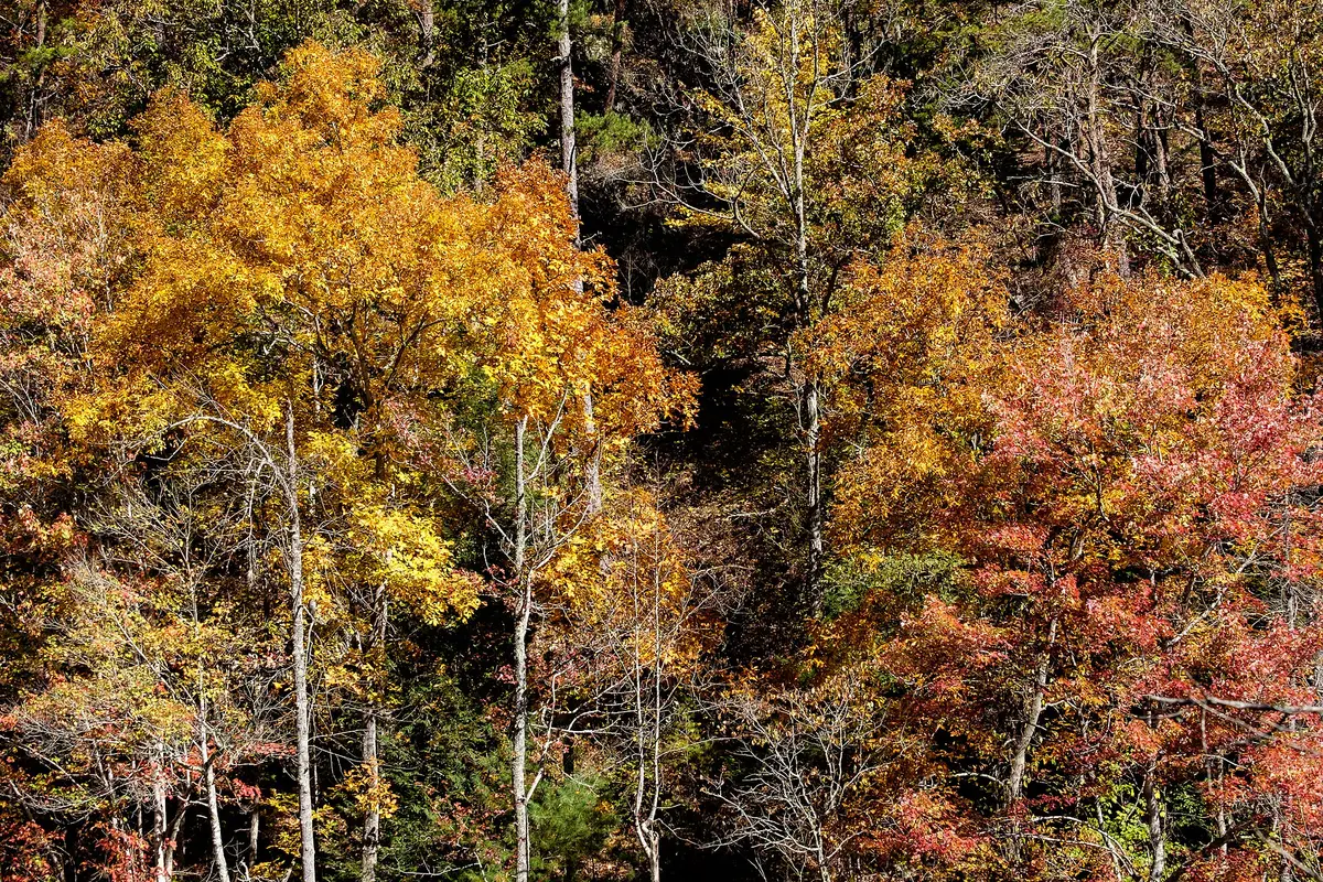
The Cherohala Skyway is a 43-mile National Scenic Byway linking Robbinsville, North Carolina, with Tellico Plains, Tennessee, following NC 143 for about 18 miles and TN 165 for nearly 25. It climbs more than 4,000 feet to just over 5,400 feet near Haw Knob at the state line, with long, open sweepers and wide overlooks rather than tight switchbacks. Short trails lead from roadside parking to the grassy summits of Huckleberry Knob (5,560 ft) and Hooper Bald, and overlooks such as Santeetlah and Big Junction look out over the Cherokee and Nantahala national forests. There are no services along the crest, so fuel up in Robbinsville or Tellico Plains. Photo: David Ratledge / CC BY 4.0 / Wikimedia Commons
Photos & videos
(0)Discussion
Know a great drive?
Help us build the most thoughtfully curated road map in the country. Map it and share it — our team reviews every drive.
Add a drive